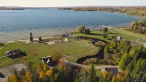
Bear River
Description: Today, all but two of the historic dams have been removed from the river, restoring a more
Black River
Description: From Black Lake, located southeast of the watershed in Presque Isle County, the Black River courses approximately
Boyne River
Description: You can’t start at the mouth of the Boyne River and swim upstream to some of the
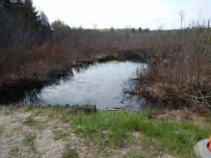
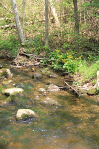
Carp Lake River
Description: The Carp Lake River is a 10.5 mile long river located in Emmet County. It is one
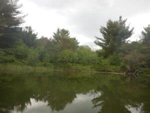
Crooked River
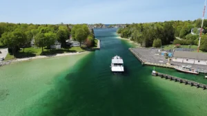
Description: The Crooked River is about 10 km long and connects Crooked Lake with Burt Lake. The river channel is dredged to
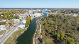
Elk River
Elk River is the pathway that the Chain of Lakes uses to drain into Lake Michigan. It flows
Indian River
The Indian River originates at the southeast end of Burt Lake and flows through residential areas before entering
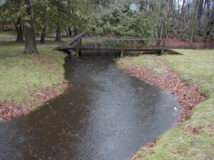
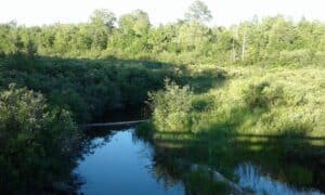
Intermediate River
Intermediate River between St. Clair and Ellsworth Lakes This short river segment is only 0.3 mile long.
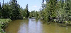
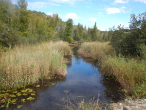
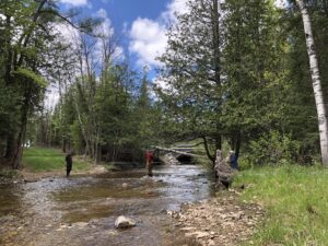
Jordan River
Description: When one thinks of a pristine, natural river, what is the first thing that comes to mind?
Maple River
Description: The Maple River is one of the lesser-known excellent-quality large streams in Northern Michigan. Sections of the
Pigeon River
Description: The Pigeon River flows through sandy pine forests and dense lowland swamps as it meanders its way
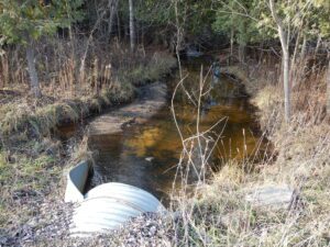
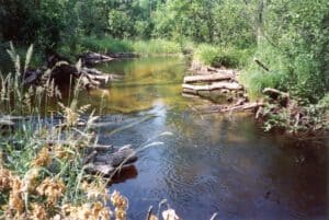
Rapid River
Description: The Rapid River is a tributary to the Torch River. The Rapid is 18 miles long and
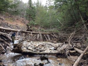
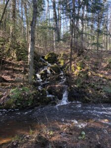
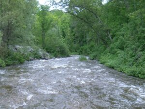
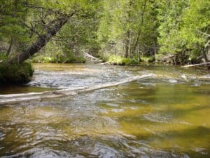
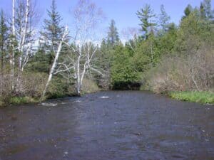
Sturgeon River
Description: The Sturgeon River is famous for its speed, it has a slope of nearly 15’ per mile,