Description:
The Maple River is one of the lesser-known excellent-quality large streams in Northern Michigan. Sections of the river can be a pleasant paddle or time well spent with one’s fly rod. Its watershed is over 100,000 acres of northern Emmet and northwestern Cheboygan Counties. The West Branch has excellent water quality and is fed by large wetlands at its headwaters, including the Pleasantview Swamp and Stutsmanville Bog. The East Branch flows out of Douglas Lake in Cheboygan County, home of the University of Michigan Biological Station.
Dams have been built on the Maple River by two species of mammals: humans and beavers. Humans built the Lake Kathleen dam, just below the confluence of the river’s two branches, in the 1950’s for hydropower. The Dam Site Inn restaurant overlooks the dam. Beavers have been busy building dams of sticks and mud throughout the river. Although each kind of dam can have benefits to the species that built it, they both have negative impacts to the Maple River’s water quality, natural profile, ecology, and fishery.
Speaking of fishery: the West Branch of the Maple River is a coldwater stream that supports a strong brook trout fishery. The East Branch, since it drains the warmer water from Douglas Lake, is too warm and intermittent for brookies. However, it is one of the few homes of the federally endangered Hungerford’s crawling water beetle (Coleoptera: Haliplidae). Downstream of the confluence of the two branches (at Lake Kathleen behind the dam) are brown and rainbow trout that have come up from Burt Lake.
Fishermen, paddlers, wildlife watchers, and other individuals and organizations (including the Miller-Van Winkle Chapter of Trout Unlimited) are working hard to protect the Maple River and its watershed, and keep it high-quality for generations of recreation enthusiasts.

Threats to Water Quality
|
Monitoring
The Maple River is monitored every three years through the Watershed Council’s Comprehensive Water Quality Monitoring (CWQM) Program for dissolved oxygen, specific conductivity, pH, nitrate-nitrogen, total nitrogen, total phosphorus, chloride levels, and total suspended solids.
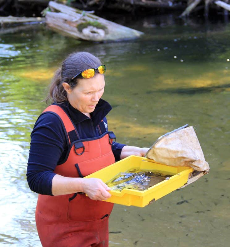
Biological monitoring is also performed by volunteers in the Maple River each spring and fall as part of the Watershed Council’s
Volunteer Stream Monitoring (VSM) Program.
Additional Resources:
Trout Unlimited – Miller Van Winkle Chapter
Founded in Michigan in 1959, Trout Unlimited today is a national nonprofit organization with 147,000 members dedicated to conserving, protecting and restoring North America’s cold-water fisheries and their watersheds.
Information about Threatened, Endangered, and Special Concern species in this stream’s watershed is available on the Michigan Natural Features Inventory (MNFI) website.
USGS Current Water Data for Michigan provides stream flow conditions.
A wide variety of maps, including Vegetation circa 1800, National Wetlands Inventory, Land Cover Change 1800’s to 1978, Wetland Change 1800’s to 1980, and many other resources for this area are available online in the Michigan Natural Features Inventory (MNFI) Data Resources page.
Learn about safely eating fish from this river in the Michigan Fish Consumption Advisory.
| Title | Link |
|---|
Insert Maple River map

