Description:
Minnehaha Creek begins its journey near the corner of Welsh Rd. and Harmon Rd. in southeast Springvale Township. From there, it flows about 2 miles north, where the Creek meets up with Silver Creek. It flows through a large wetland complex before it reaches Crooked Lake right at Channel Rd. Minnehaha Creek is a designated trout stream with Type 1 trout stream regulations. According to the Michigan Department of Natural Resources (MDNR)’s West Branch Minnehaha Creek 2003 Survey Analysis, two species of trout (brown and brook) were collected, in addition to three other species of fish representing a coldwater fish community. Brook trout were the most abundant game fish encountered (with some fish measuring up to 9 inches) and the Creed was noted as being a brook trout nursery.
Both State Forest and Little Traverse Conservancy lands provide protection for the Minnehaha and ample public access offer excellent fishing opportunities for anglers.
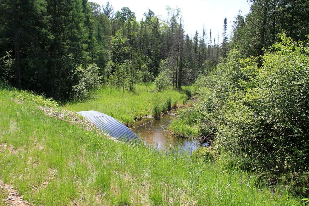
In 2017, Tip of the Mitt Watershed Council coordinated the replacement of an undersized culvert at Maxwell Road with a larger, stream channel-spanning structure. In 2018, a second crossing was upgraded from three undersized culverts to a timber bridge at Pickerel Lake Road. These projects will allow for better fish passage to upstream sections of the stream. Both road/stream crossing improvements are part of the Watershed Council’s Improving Aquatic Connectivity and Water Quality of Northern Michigan’s Minnehaha Creek project. These important on-the-ground restoration projects are funded by the National Fish and Wildlife Foundation’s Sustain Our Great Lakes program, the US Fish and Wildlife Service Fish Passage program, the Baiardi Foundation, Patagonia, and the Emmet County Road Commission.
Other Threats to Water Quality
- Nonpoint source pollution
- Eroding riverbanks
Monitoring
Biological monitoring is also performed by volunteers in Minnehaha Creek each spring and fall as part of the Watershed Council’s Volunteer Stream Monitoring (VSM) Program.
Additional Resources:
Information about Threatened, Endangered, and Special Concern species in this stream’s watershed is available on the Michigan Natural Features Inventory (MNFI) website.
USGS Current Water Data for Michigan provides stream flow conditions.
A wide variety of maps, including Vegetation circa 1800, National Wetlands Inventory, Land Cover Change 1800’s to 1978, Wetland Change 1800’s to 1980, and many other resources for this area are available online in the Michigan Natural Features Inventory (MNFI) Data Resources page.
Learn about safely eating fish from this river in the Michigan Fish Consumption Advisory.
Charlevoix, Antrim, Kalkaska, Emmet Cooperative Invasive Species Management Area (CAKE CISMA) conducts collaborative outreach and management of invasive species in Charlevoix, Antrim, Kalkaska, and Emmet Counties.
| Title | Link |
|---|