
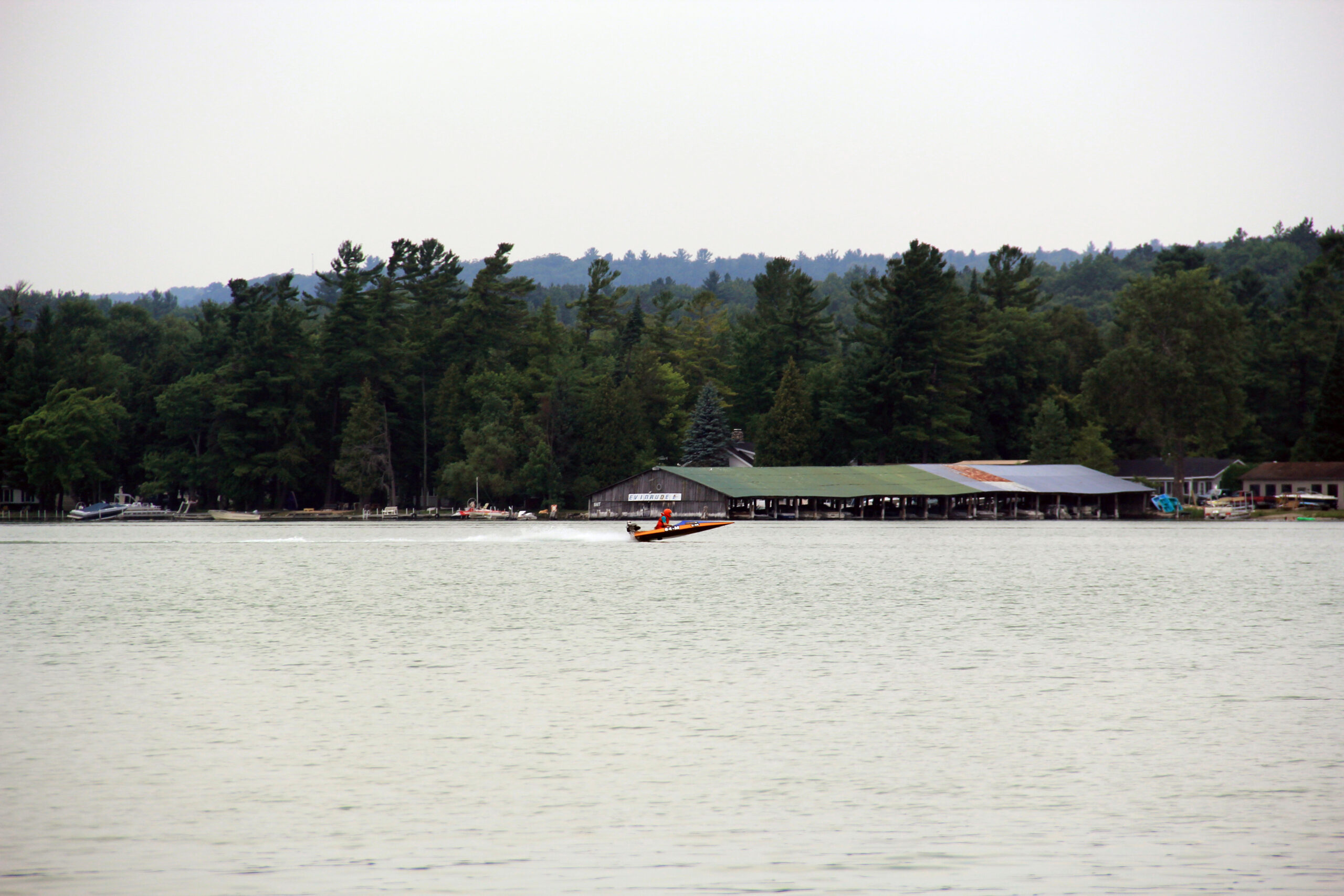
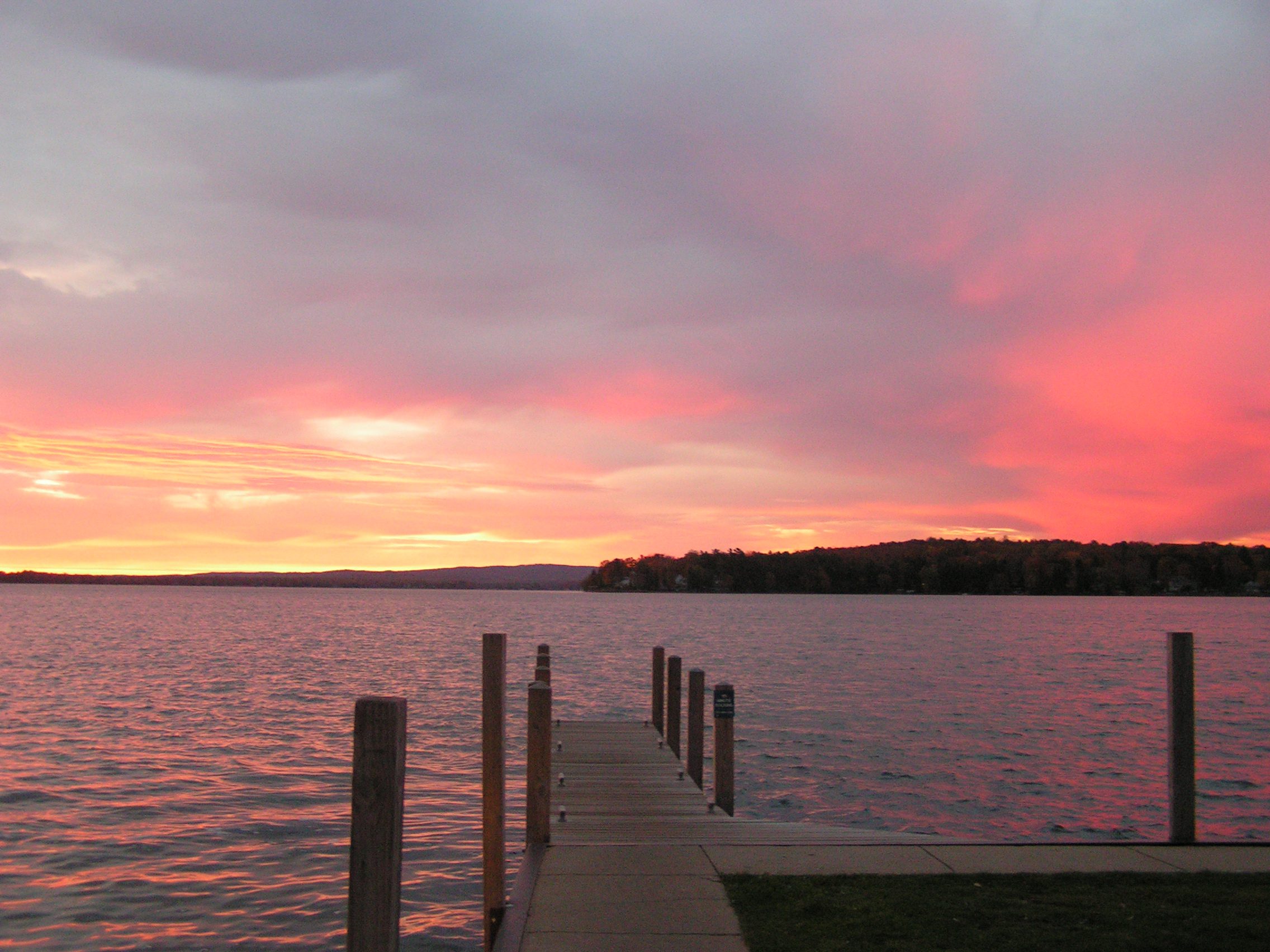
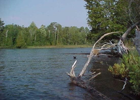
Pickerel Lake Water Quality Maps
Description:
Monitoring and Research:
Crooked and Pickerel Lakes are monitored every three years through the Watershed Council’s Comprehensive Water Quality Monitoring (CWQM) Program for dissolved oxygen, specific conductivity, pH, nitrate-nitrogen, total nitrogen, total phosphorus, and chloride levels.
Water transparency, chlorophyll-a, and water temperature are also monitored in Crooked and Pickerel Lakes each summer by volunteers as part of the Watershed Council’s Volunteer Lake Monitoring (VLM) Program.
These lakes are monitored through the Little Traverse Bay Bands of Odawa Indians Surface Water Quality Protection Program (SWQPP).
Document Library
| Title | Link |
|---|---|
| 2024 Pickerel-Crooked Lakes Shoreline Survey | |
| 2020 Pickerel & Crooked Lakes Aquatic Plant Survey | |
| 2018 Burt Lake Watershed Management Plan | |
| 2012 Crooked-Pickerel Lakes Shoreline Survey | |
| 2010 Crooked-Pickerel Lakes Headwaters of the Inland Waterway Profile CWQM |
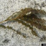
Shoreline Survey:
Pickerel-Crooked Lakes Shoreline Survey 2024
Project Summary In the spring of 2024, Tip of the Mitt Watershed Council contracted with Pickerel-Crooked Lakes Association to conduct a shoreline survey on both Crooked and Pickerel Lakes in the summer of 2024. This shoreline survey project is also funded in part by the Michigan Department of Environment, Great
Additional Resources:
View an interactive map of Pickerel Lake, including public access sites, on Michigan Fishweb.
View an interactive map of Crooked Lake, including public access sites, on Michigan Fishweb.
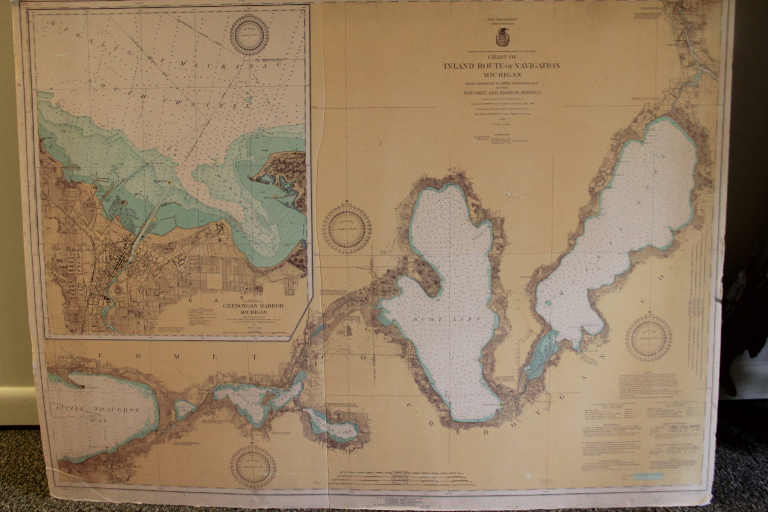
A wide variety of maps for this area are available online at the Michigan Natural Features Inventory (MNFI) Data Resources page.
Information about Threatened, Endangered, and Special Concern species in this lake’s watershed is available on the Michigan Natural Features Inventory (MNFI) website.
For information on the 2016 Emmet County Property Owner’s Permit Guide Click Here