Description:
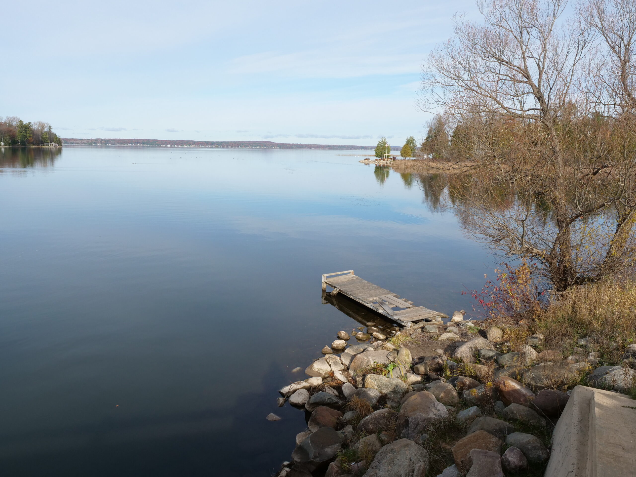
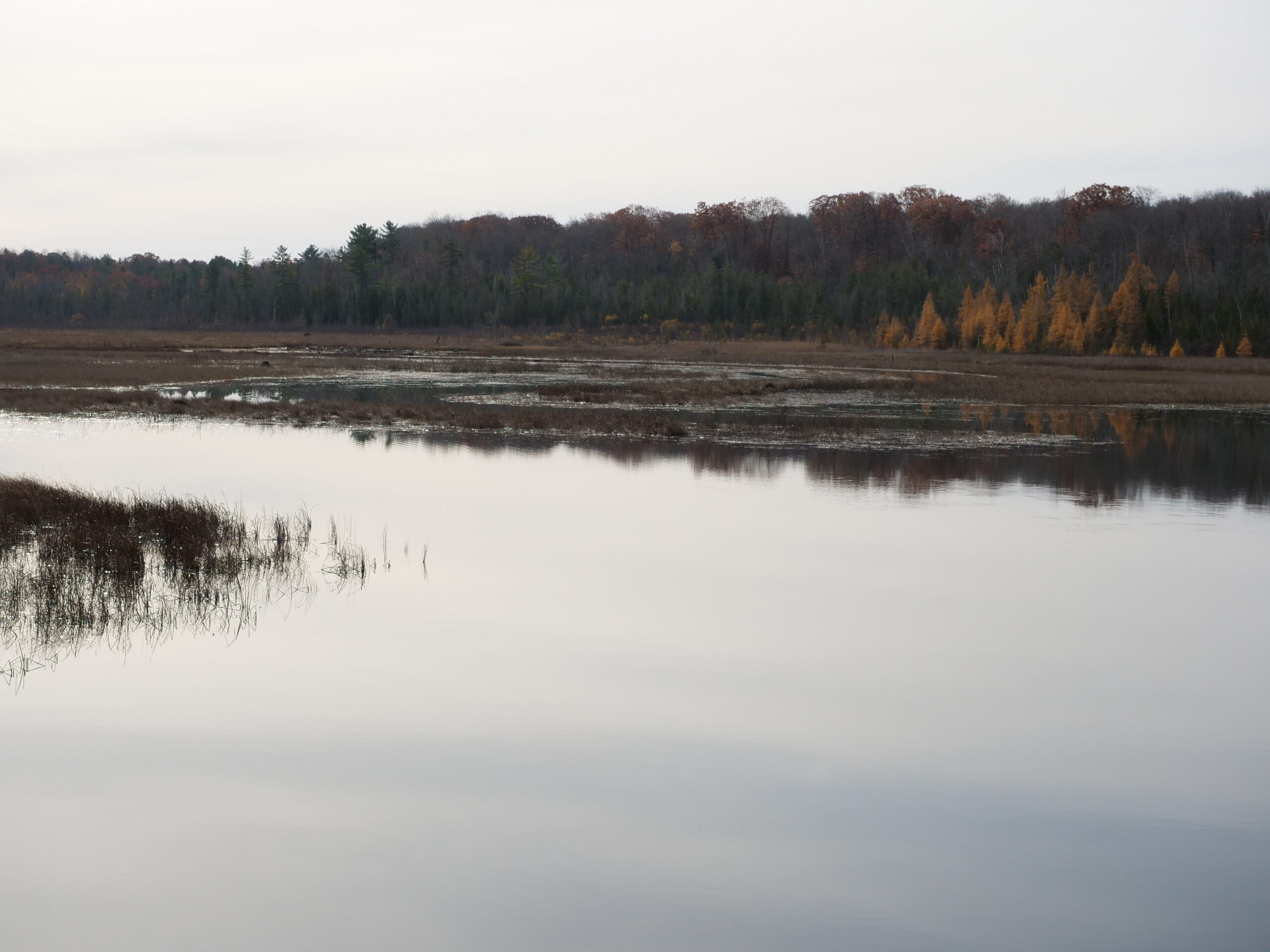
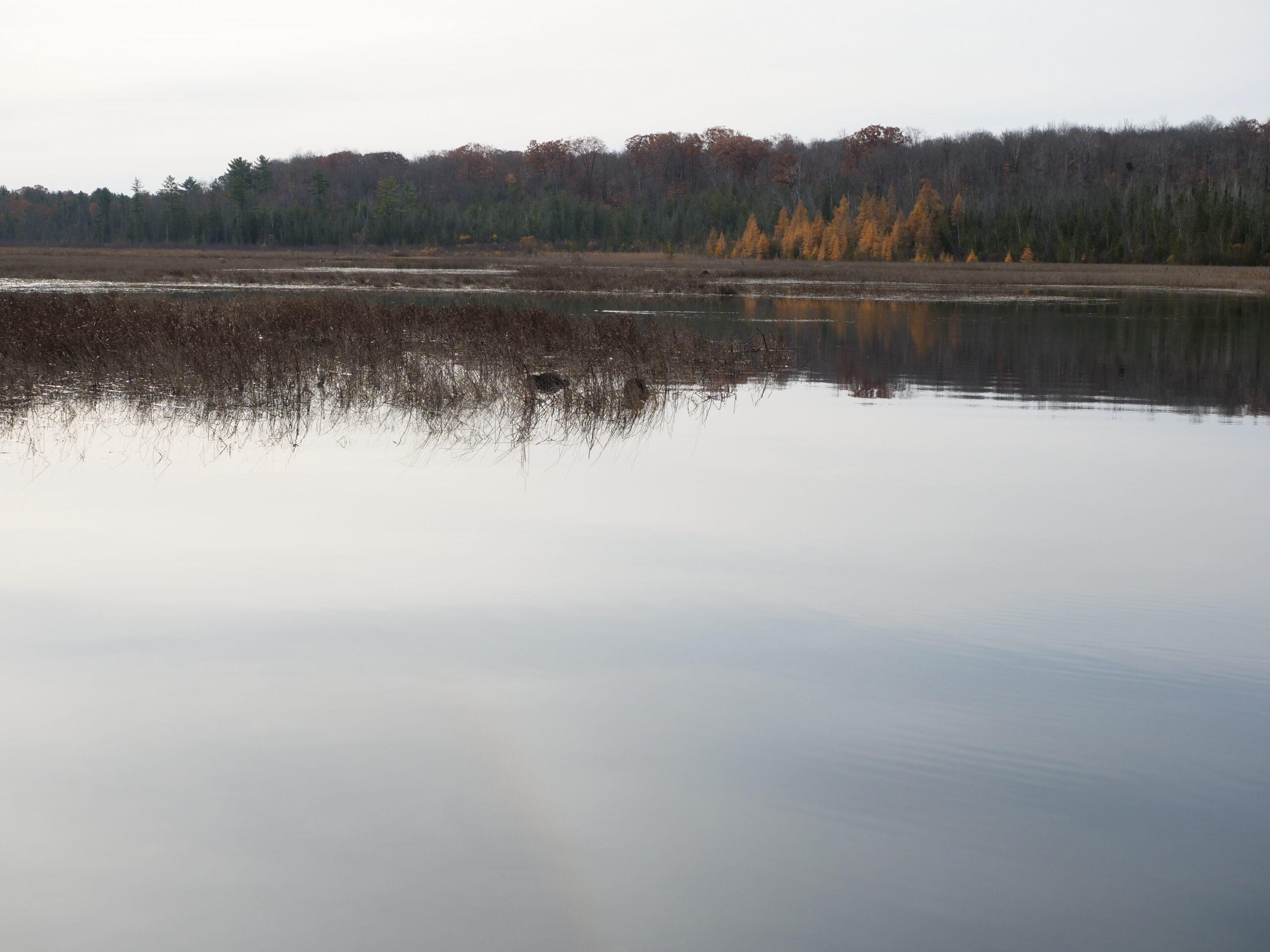
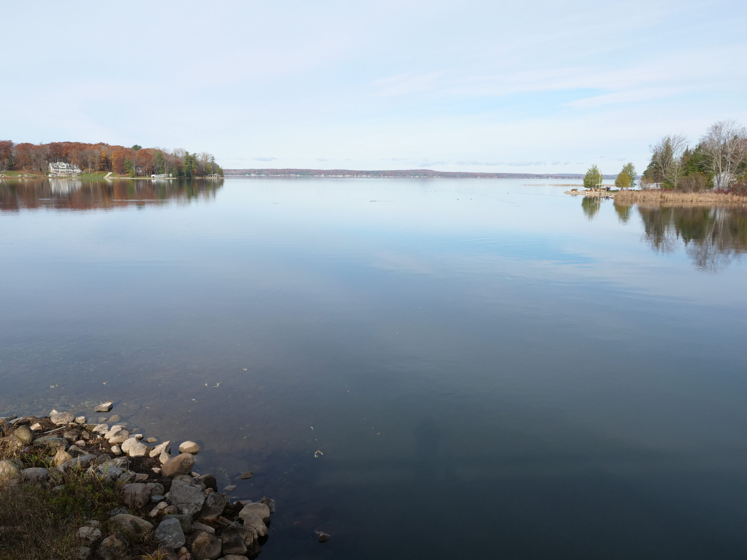
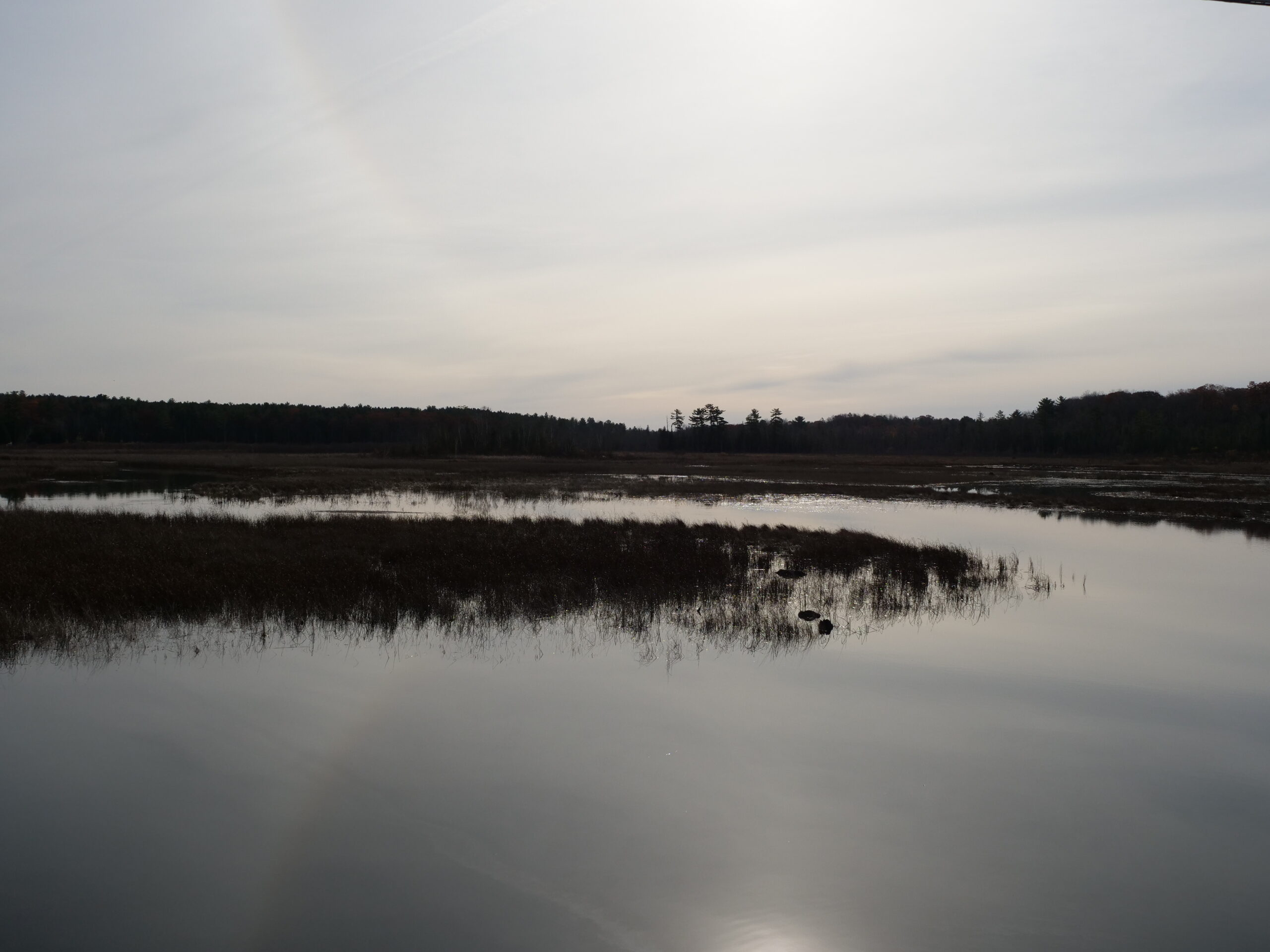
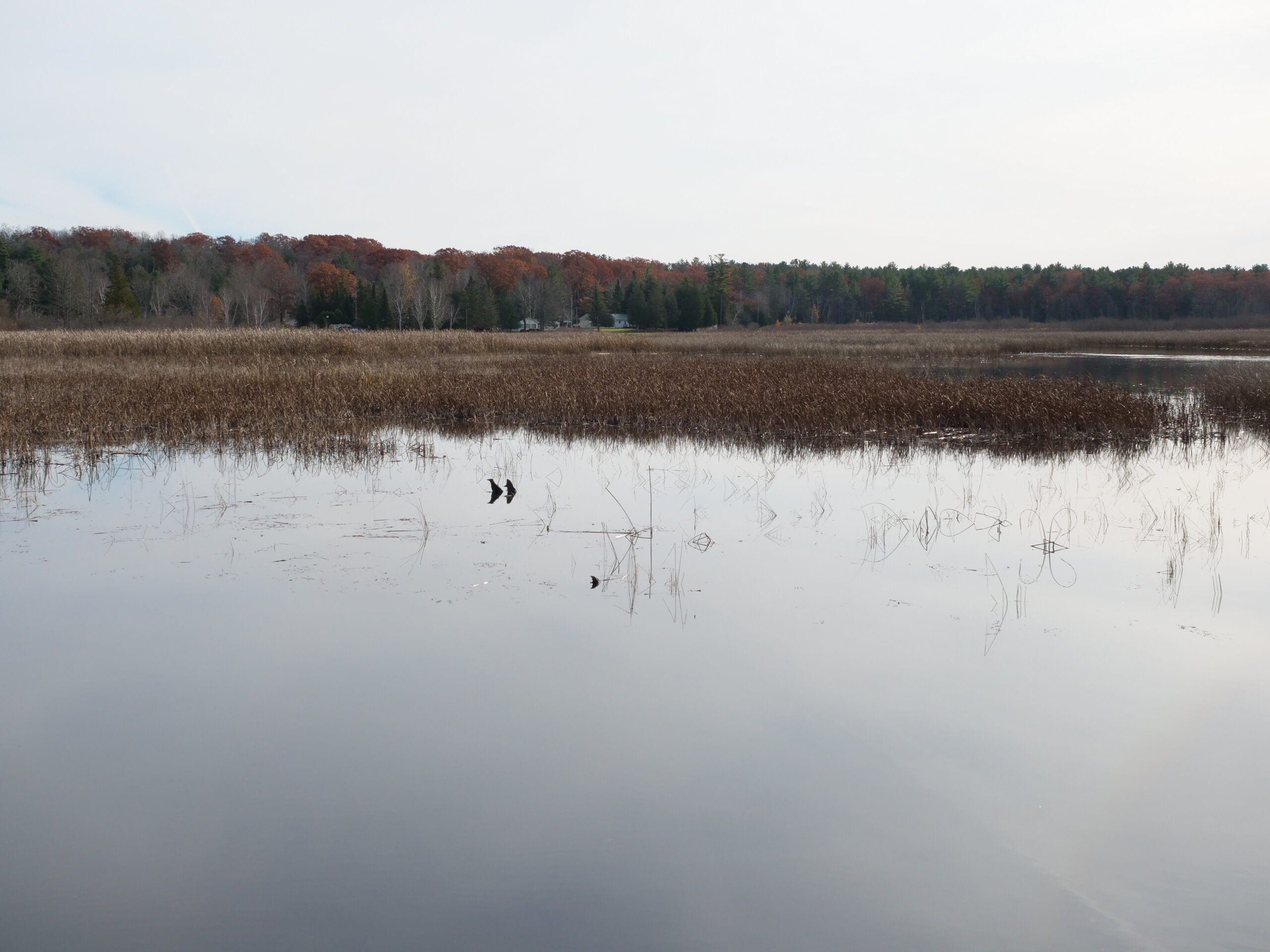
Mullett Lake is a large, deep, high-quality lake with 200 billion gallons within its basin. It is part of northeast Michigan’s Inland Waterway and is the state’s fifth largest lake, with a surface area of 16,630 acres. Tributaries of Mullett Lake include: Indian River, Little Sturgeon, Mullet Creek and East Little Pigeon. Mullett Lake lies within six different townships: Aloha, Benton, Inverness, Koehler, Mullett, and Tuscarora.
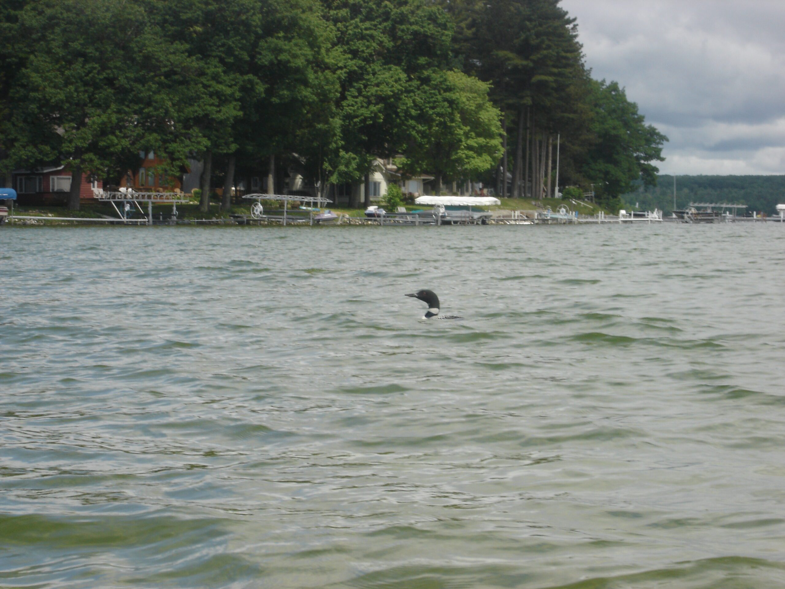
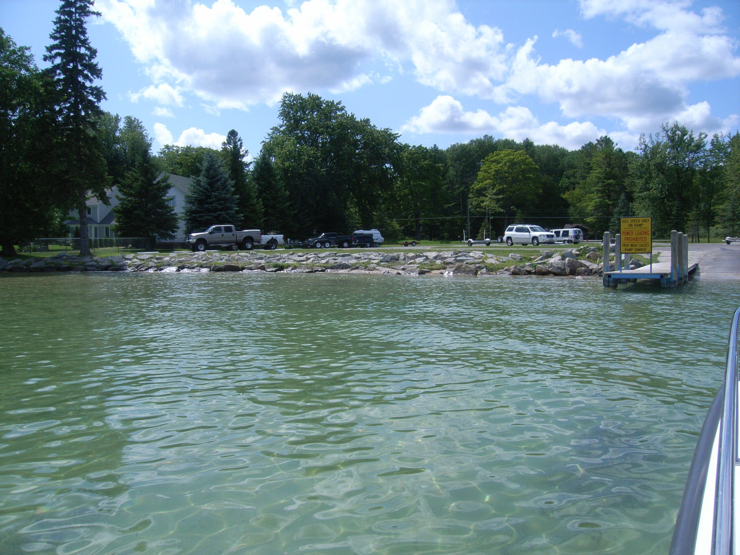
Mullett Lake is a popular lake for recreationists and supports activities such as fishing, boating, kayaking, canoeing, and swimming. During the summer months, the local population can increase three-fold with tourists and seasonal residents.
Monitoring and Research:
Mullett Lake is monitored every three years through the Watershed Council’s Comprehensive Water Quality Monitoring (CWQM) Program for dissolved oxygen, specific conductivity, pH, nitrate-nitrogen, total nitrogen, total phosphorus, and chloride levels.
Water transparency, chlorophyll-a, and water temperature are also monitored in Mullett Lake each summer by volunteers as part of the Watershed Council’s Volunteer Lake Monitoring (VLM) Program.
Additional Resources:
| Title | Link |
|---|---|
| 2024 Mullett Lake, Lower Black/Cheboygan Rivers Watershed Management Plan | |
| 2024 MAPS Indian River Chloride Project | |
| 2016 Mullett Lake Shoreline Survey | |
| 2015 Mullett Lake Partial Aquatic Plant Survey | |
| 2009 Mullett Lake Profile CWQM | |
| 2007 Mullett Lake Aquatic Plant Survey |
Shoreline Survey:
Mullett Lake Shoreline Survey 2016
Project Summary During the summer of 2016, the Tip of the Mitt Watershed Council conducted a shoreline survey of Mullett Lake. Surveys were designed to replicate a 2008 shoreline survey, documenting conditions that can impact water quality, including the three biggest threats to inland lakes: nutrient pollution, habitat loss, and