Description:
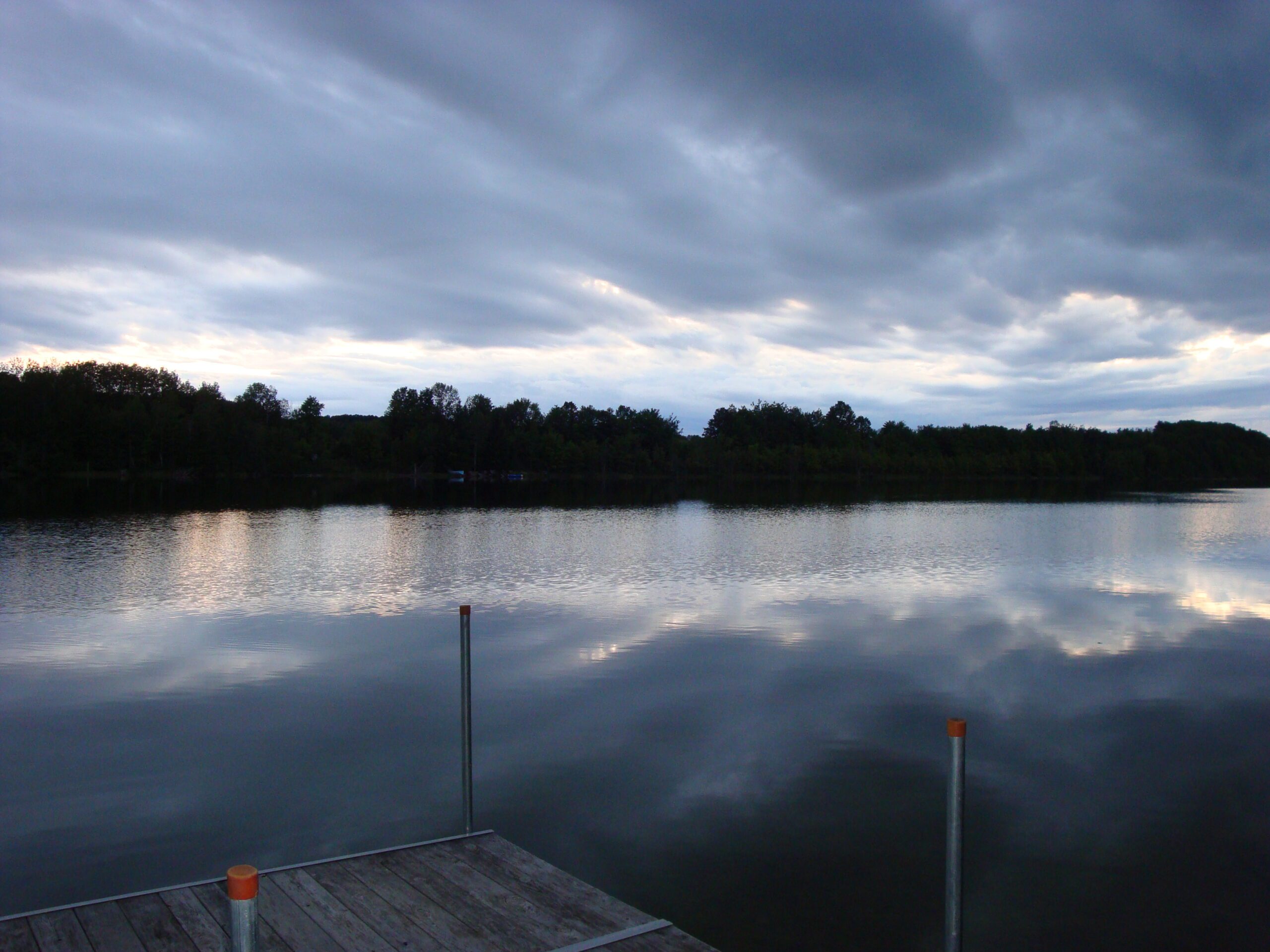
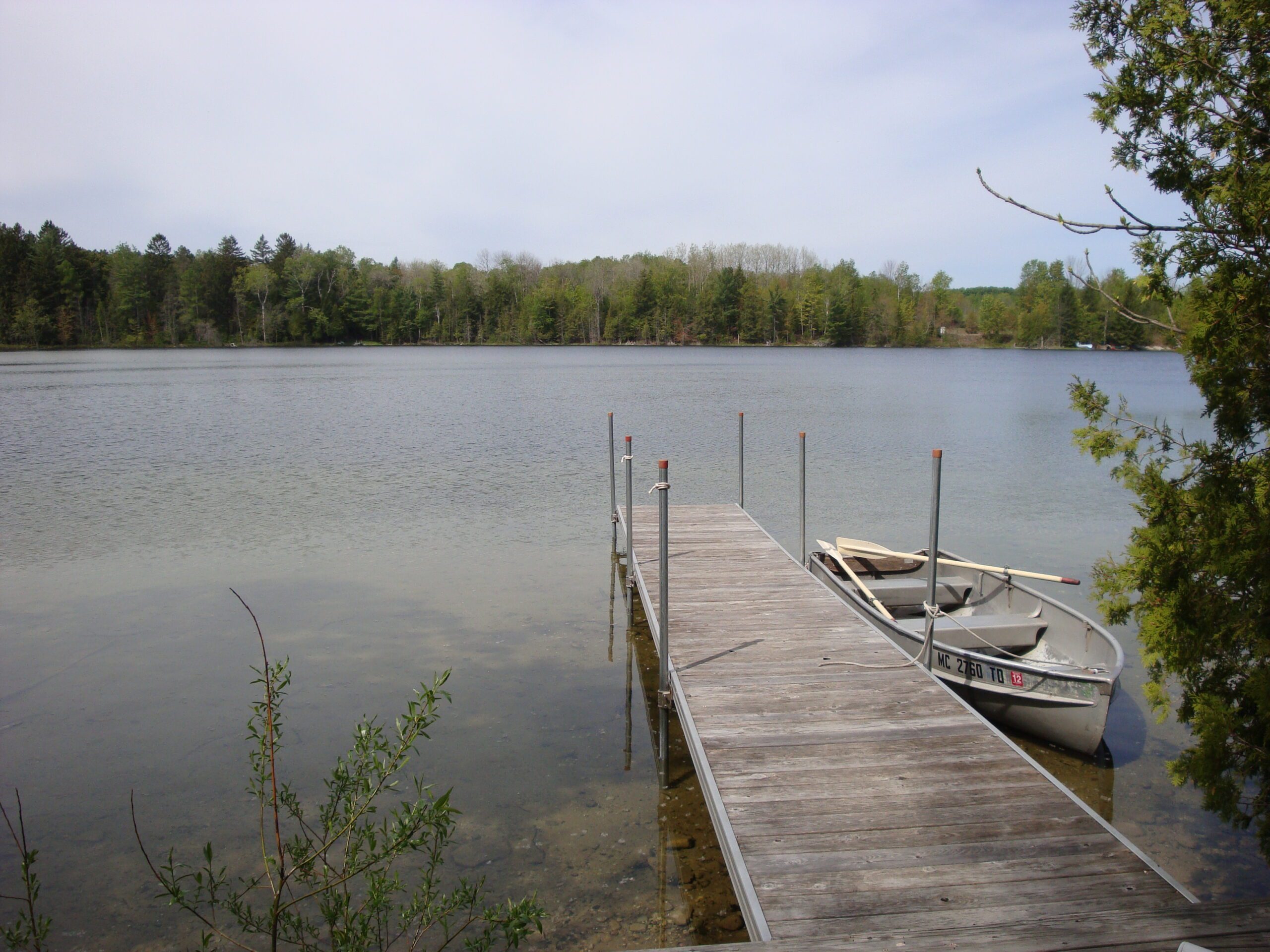
Marion Lake is located in western Charlevoix County, in terrain consisting of scores of glacial drumlins. Also known as Lake 26, the lake has no public access, however, it has been monitored by local residents for the past several years as part of our Volunteer Lake Monitoring program.
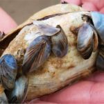
Bluegill, largemouth bass, black crappie, and northern pike commonly found in Lake Marion. Painted turtles, otters, beavers, green frogs, and a family of loons can be seen on and around the lake.
Monitoring and Research:
Marion Lake is monitored through the Watershed Council’s Volunteer Lake Monitoring (VLM) Program for water transparency, chlorophyll-a, and water temperature.
Additional Resources:
See additional resources on our Aquavist page.
A wide variety of maps for this area are available online at the Michigan Natural Features Inventory (MNFI) Data Resources page.