Description:
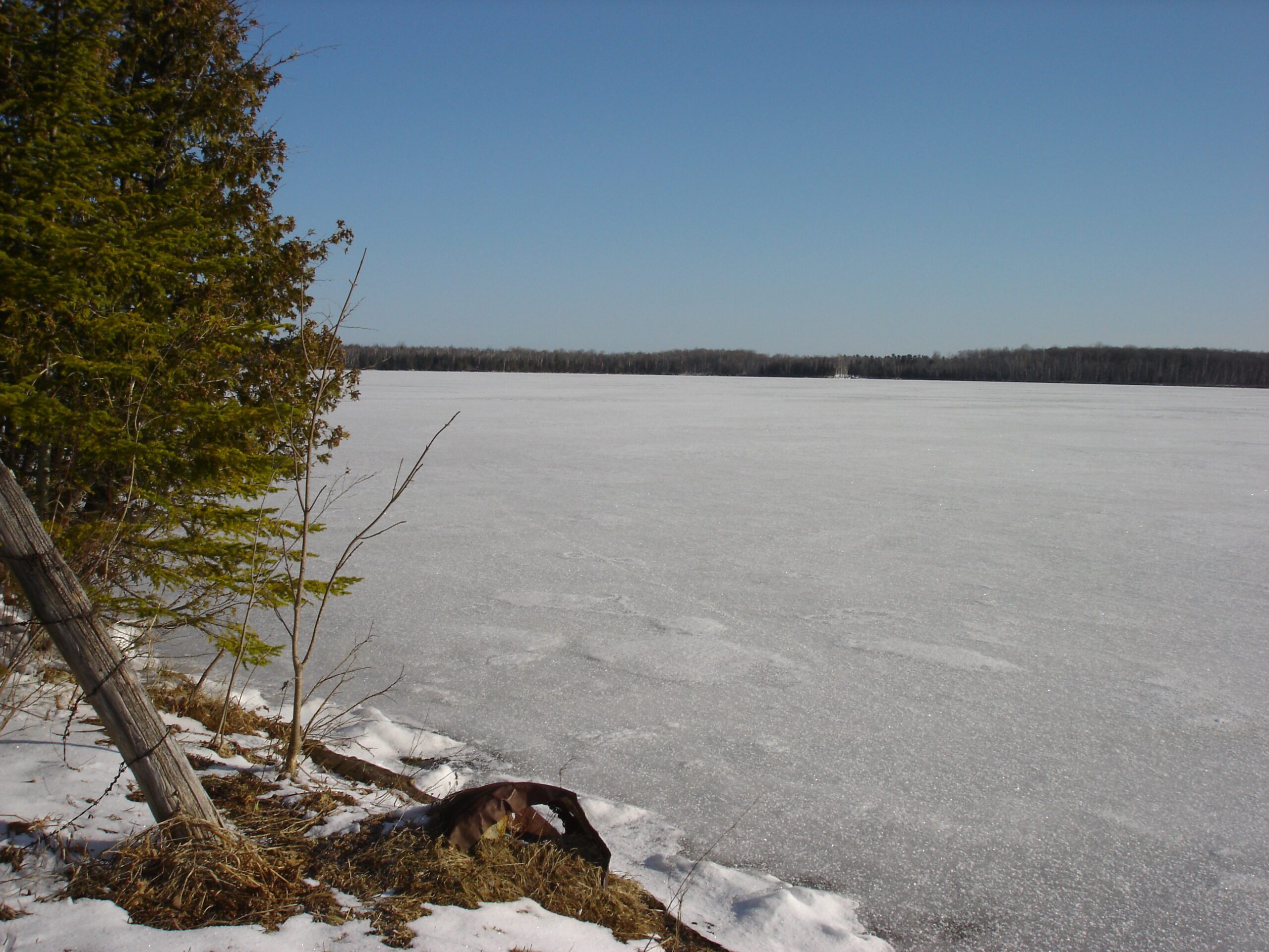
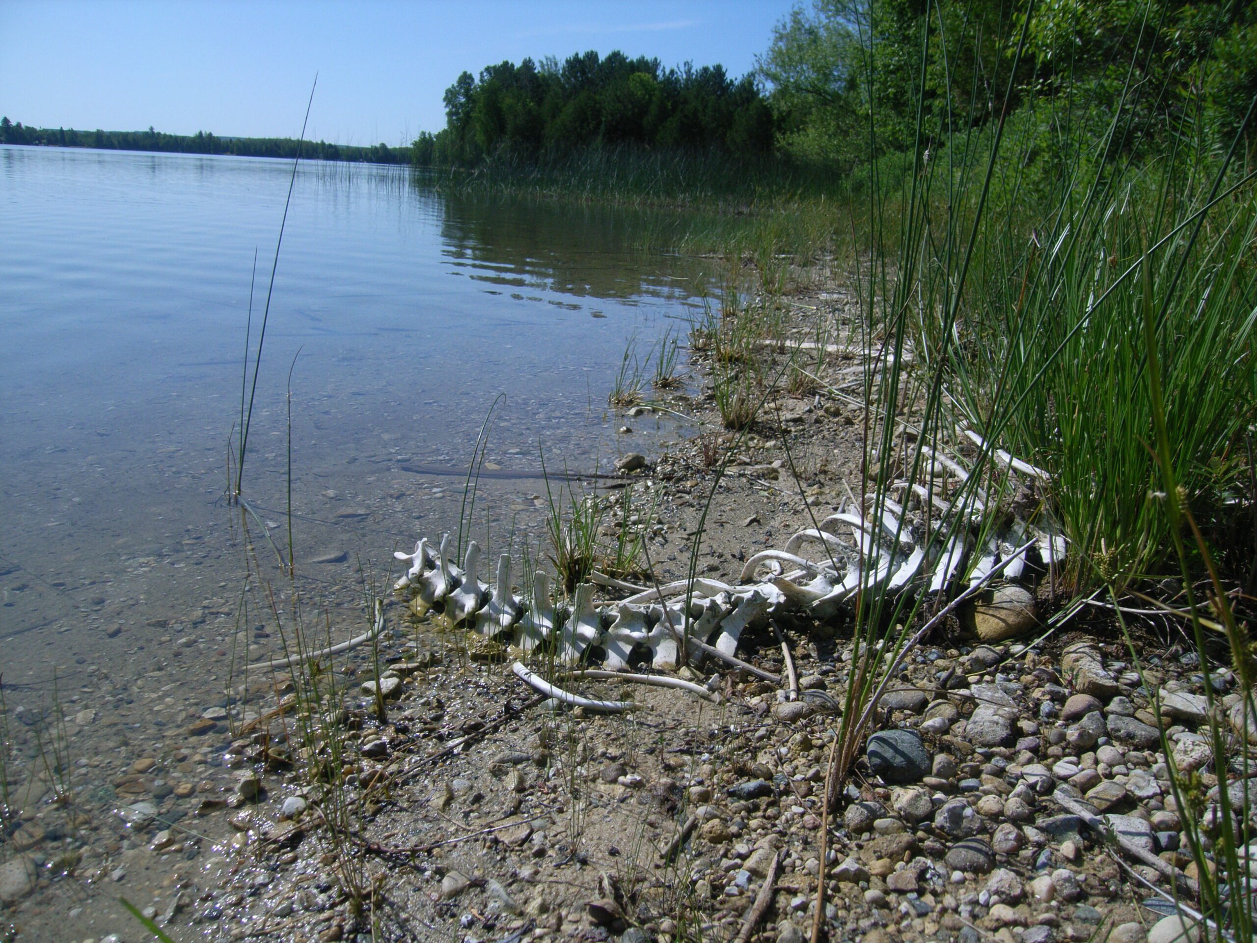
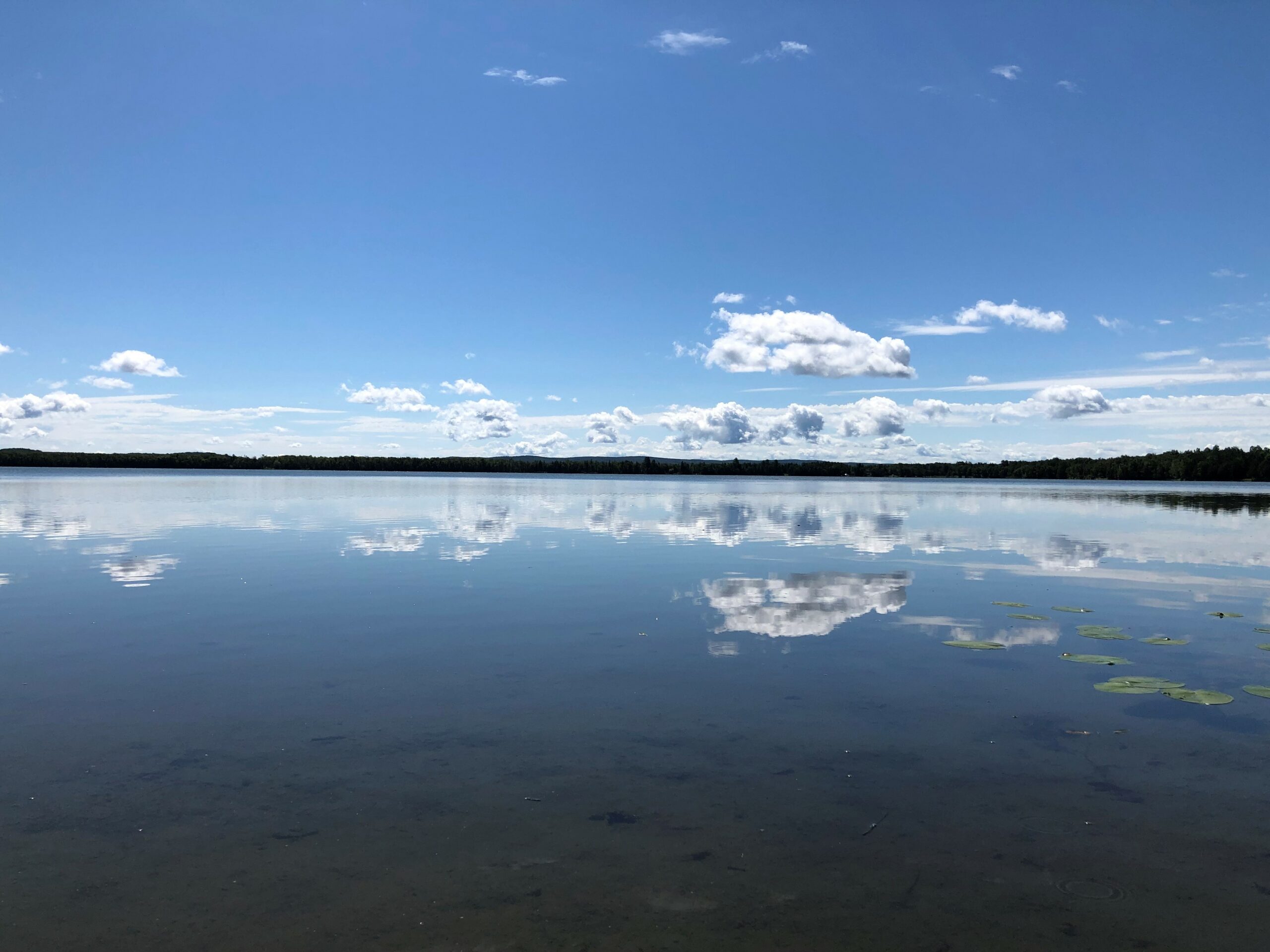
Larks Lake is important not just because of the recreational activities it provides; it is also a large source of water to the Pleasantview Swamp. At 6,544 acres, the Pleasantview Swamp is one of the largest uninterrupted wetlands in northern Lower Michigan. Because it is at the headwaters of the West Branch of the Maple River, the swamp is extremely important for protecting the water quality of this renowned trout stream. The Pleasantview Swamp also provides habitat for a magnificent variety of plant and animal life, including bobcats, black bear, otters, bald eagles, and osprey.
In 2006 the Larks Lake Watershed Management Plan was written, with funding from the Petoskey-Harbor Springs Area Community Foundation and the Ann K. Irish Charitable Fund. The Plan provides a background of the Watershed, along with recommendations to protect the water quality of Larks Lake.
Monitoring and Research:
Larks Lake is monitored every three years through the Watershed Council’s Comprehensive Water Quality Monitoring (CWQM) Program for dissolved oxygen, specific conductivity, pH, nitrate-nitrogen, total nitrogen, total phosphorus, and chloride levels.
Water transparency, chlorophyll-a, and water temperature are also monitored in Larks Lake each summer by volunteers as part of the Watershed Council’s Volunteer Lake Monitoring (VLM) Program.
This lake is monitored through the Little Traverse Bay Bands of Odawa Indians Surface Water Quality Protection Program (SWQPP).
Additional Resources:
See additional resources on our Aquavist page.
A wide variety of maps for this area are available online at the Michigan Natural Features Inventory (MNFI) Data Resources page.
Shoreline Survey:
Larks Lake Shoreline Survey 2022
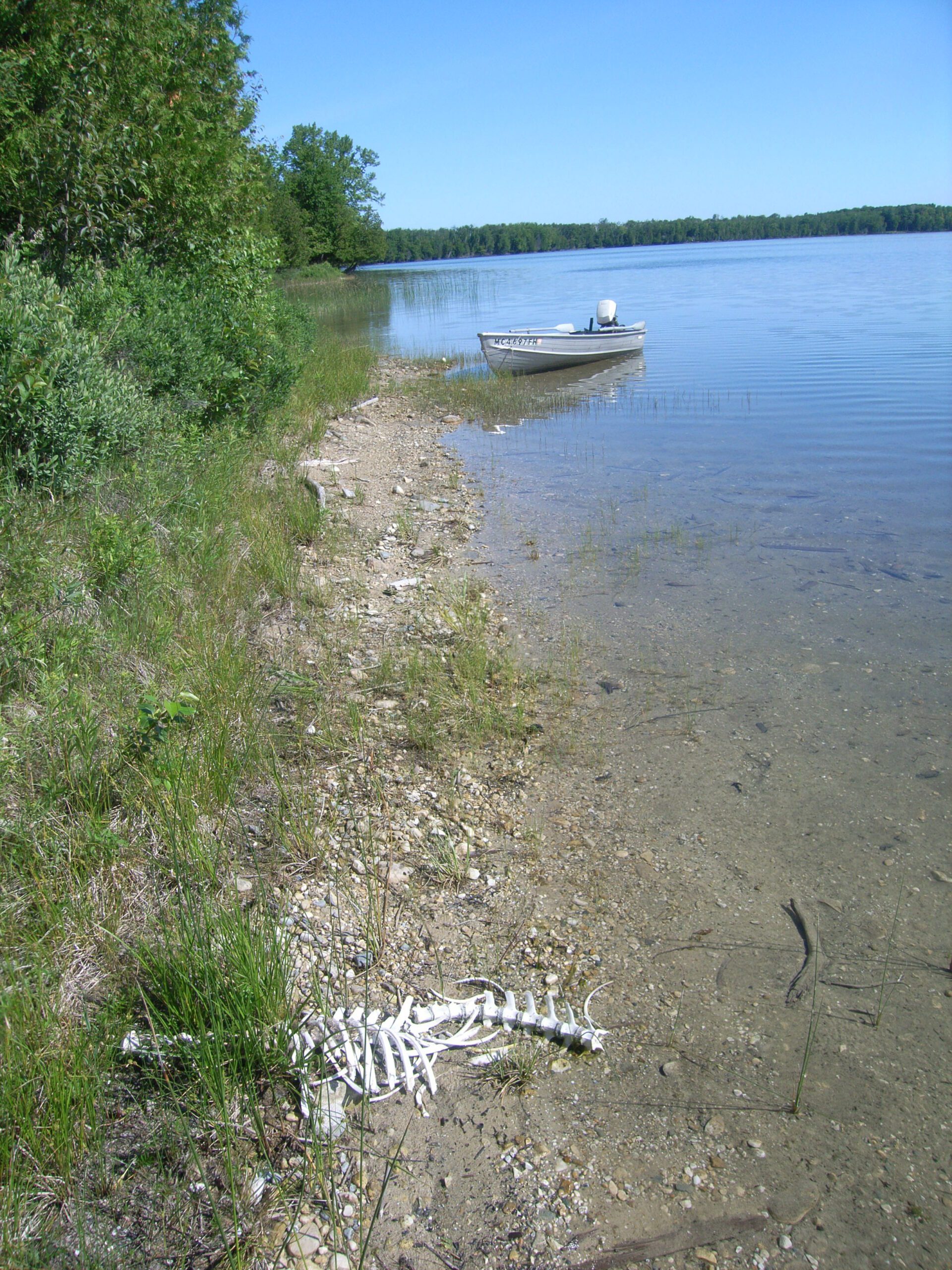
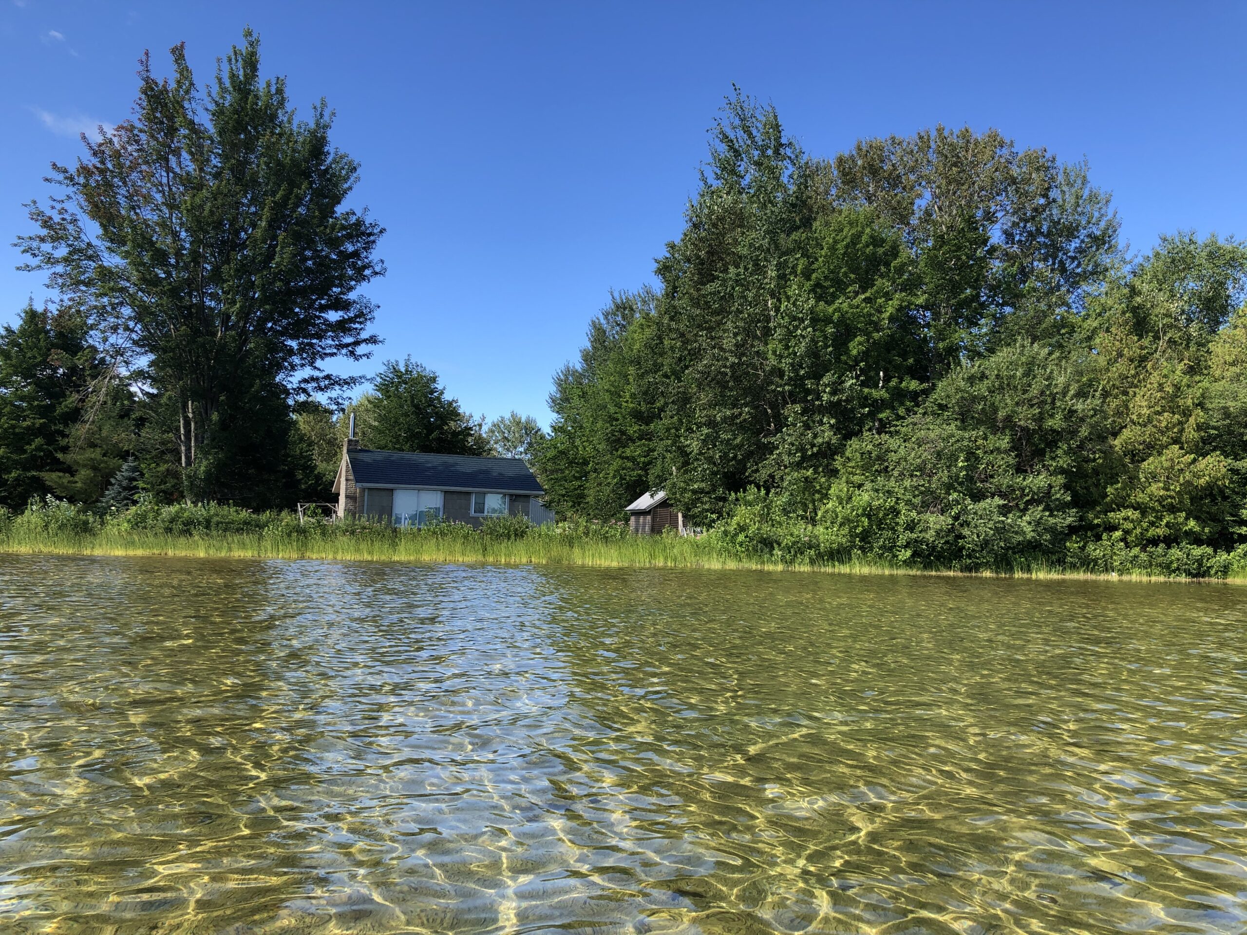
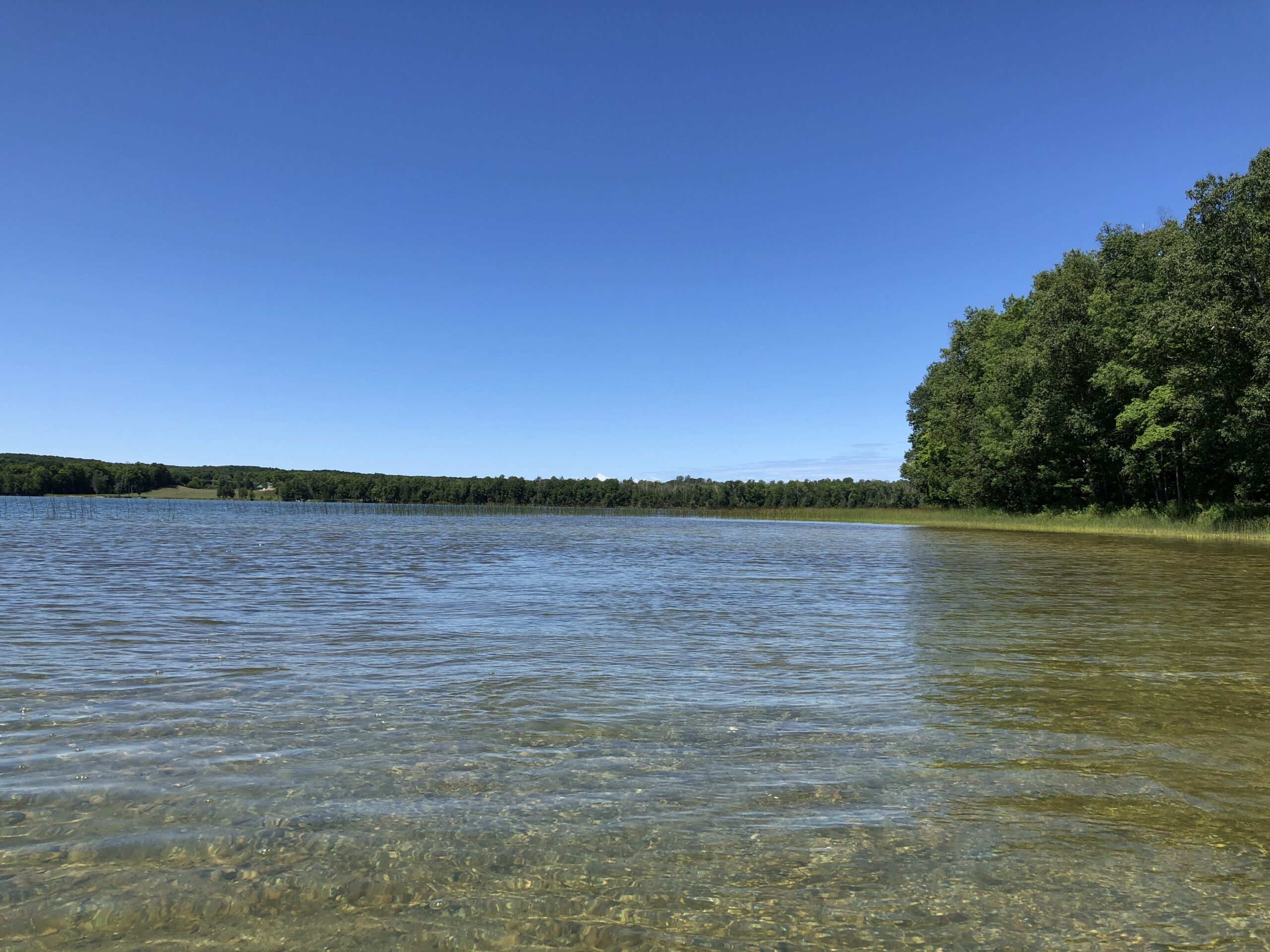
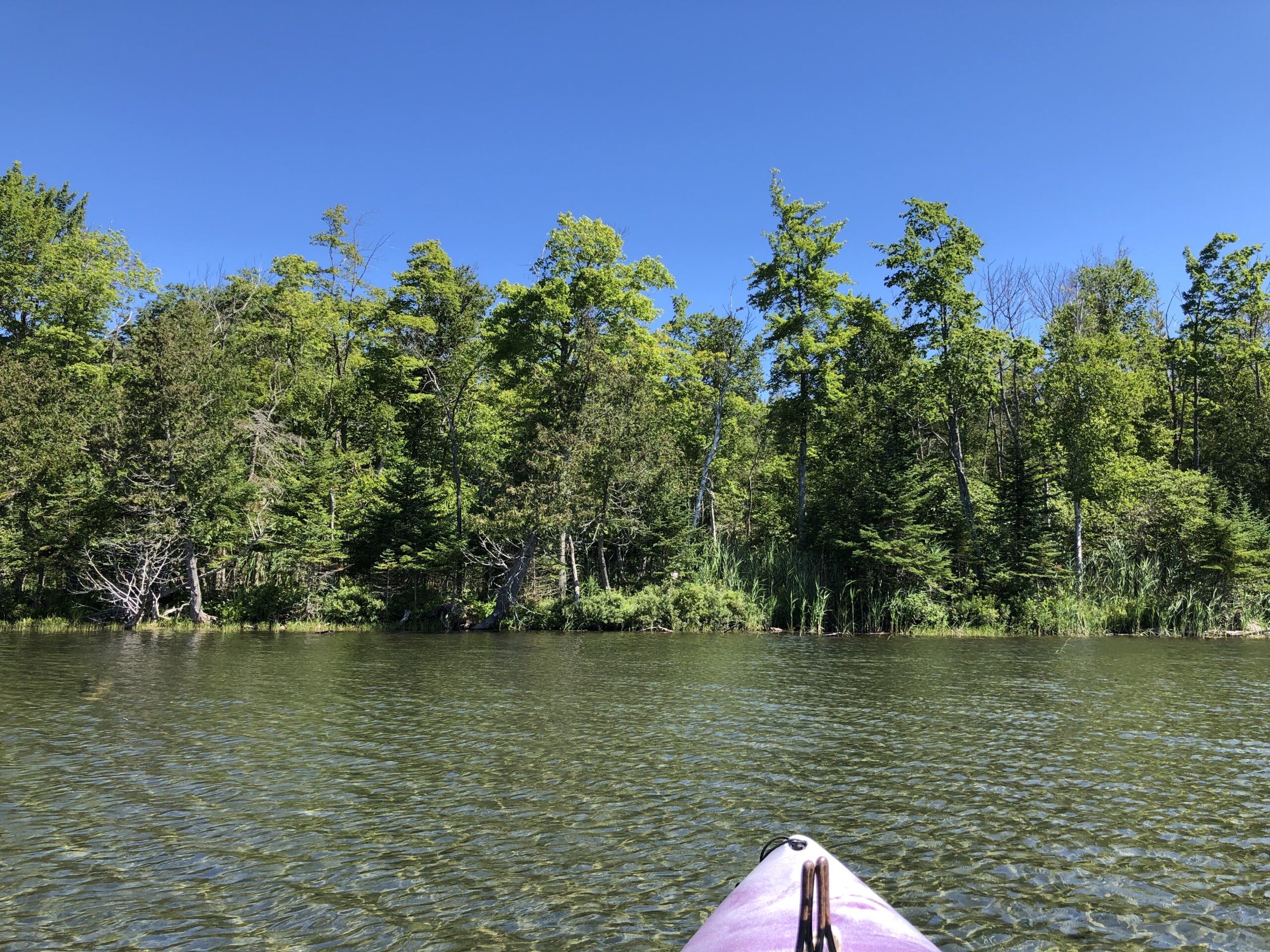
Project Summary Larks Lake is a small inland lake, covering 600 acres, located in northern Emmet County. Larks Lake is located within the larger Burt Lake watershed. In 2022, Tip of the Mitt Watershed Council conducted a shoreline survey on Larks Lake, which was funded by the Larks Lake Association.