
Monitoring and Research:
Lake Charlevoix is monitored every three years through the Watershed Council’s Comprehensive Water Quality Monitoring (CWQM) Program for dissolved oxygen, specific conductivity, pH, nitrate-nitrogen, total nitrogen, total phosphorus, and chloride levels.
Water transparency, chlorophyll-a, and water temperature are also monitored in Lake Charlevoix each summer by volunteers as part of the Watershed Council’s Volunteer Lake Monitoring (VLM) Program.
This lake is in need of additional Volunteer Lake Monitors! If you are interested in becoming a monitor, call the Watershed Council at 231-347-1181.
The Lake Charlevoix Watershed Management Plan Advisory Committee meets to implement steps of the Lake Charlevoix Watershed Management Plan.
Description:
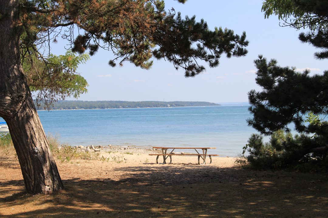
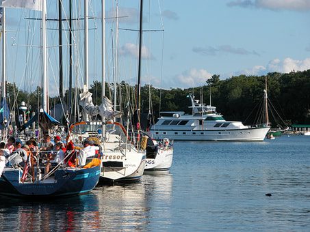
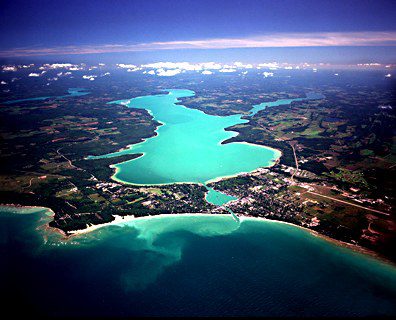
In 2012, Lake Charlevoix was voted the second best lake in America in a USA Today poll, behind only Lake Tahoe. Being awarded this honor is partly due to the many forms of recreation the lake provides, including swimming, kayaking, sailing, fishing, diving, boating, water skiing, and just relaxing on the beach. It is also due to Lake Charlevoix being one of Michigan’s largest and most magnificent lakes. Lake Charlevoix is the 3rd largest lake in the state in terms of surface area, but due to its shape and the elongate South Arm, its shoreline length far exceeds that of any other inland lake in Michigan. If you kayak the entire shoreline of Lake Charlevoix, you will have traversed 60 miles!
Because Lake Charlevoix is directly connected to Lake Michigan through the Pine River Channel in Charlevoix, its water level fluctuates with that of Lakes Michigan and Huron. In fact, the Pine River can flow in both directions! Most of the time, water flows out of Lake Charlevoix through the channel, but sometimes the flow is reversed due to a natural phenomenon called a seiche. A seiche is a rise in water level at one end of a lake caused by wind-driven waves; in this case, westerly winds push water up along Lake Michigan’s eastern shore, causing the Pine River to flow back into Lake Charlevoix. The current can be quite strong either way.
The Lake Charlevoix Watershed is quite large (234,000 acres) and includes the watersheds of the Jordan and Boyne Rivers, both of which have sections designated as Blue Ribbon Trout Stream by the Michigan Department of Natural Resources. The Jordan River is also the State’s first designated Natural River. The glacial processes that formed Lake Charlevoix produced two distinct basins. The Main Basin stretches from Boyne City on the east where the Boyne River flows into the lake to the City of Charlevoix on the west end. The South Arm, which is shallower and narrower, stretches from the confluence of the two basins near Ironton to East Jordan in the southern end where the mouth of the Jordan River is located.
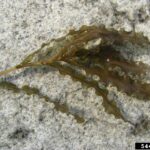
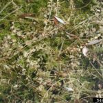
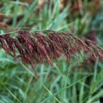
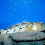
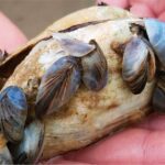
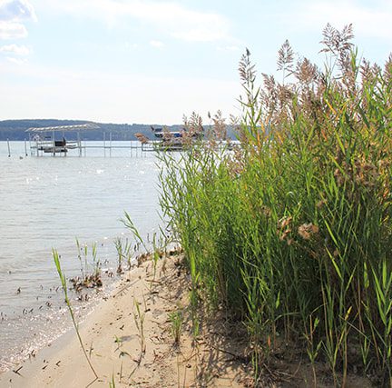
Aquatic invasive species are a problem in Lake Charlevoix. The open connection with Lake Michigan allows any invasive species present in Lake Michigan to enter Lake Charlevoix unimpeded. The Lake Charlevoix Association, Charlevoix County Conservation District, and Watershed Council have worked diligently to educate residents about invasive species, as well as document and control specific invasives. In particular, watershed partners have focused much of their work on mapping and treating invasive Phragmites. The invasive Phragmites control efforts, which began in 2008, have been very successful in preventing the spread and dominance of this aggressive invader along the Lake Charlevoix shoreline.
Additional Resources:
See additional resources on our Aquavist page.
Lake Charlevoix Watershed Protection – website
The overall goal of the Enacting Shoreline Zoning Protections around Lake Charlevoix project is to work with local officials to understand, accept, and adopt common shoreline protection zoning standards around Lake Charlevoix with the intent of keeping the Lake clean. The ten jurisdictions surrounding Lake Charlevoix are the City of Charlevoix, Boyne City, East Jordan, Bay Township, Charlevoix Township, Eveline Township, Evangeline Township, Hayes Township, Marion Township, and South Arm Township. The project was made possible through Michigan Department of Environmental, Great Lakes, and Energy (EGLE) Nonpoint Source Program 319 grant funding secured by the Tip of the Mitt Watershed Council.
View an interactive map of Lake Charlevoix, including public access sites, at Michigan Fishweb.
A wide variety of maps for this area are available online at the Michigan Natural Features Inventory (MNFI) Data Resources page.
Information about Threatened, Endangered, and Special Concern species in this lake’s watershed is available on the Michigan Natural Features Inventory (MNFI) website.
Learn about safely eating fish from this lake in the Michigan Fish Consumption Advisory.
| Title | Link |
|---|---|
| 2018 Lake Charlevoix Shoreline Survey | |
| 2016 Lake Charlevoix Watershed Homeowner’s Guide | |
| 2015 Lake Charlevoix Tributary Project Report | |
| 2014 Lake Charlevoix Clean Water and Our Local Economy | |
| 2013-14 Lake Charlevoix Tributary Monitoring Study | |
| 2012 Lake Charlevoix Watershed Management Plan | |
| 2012 Lake Charlevoix Profile | |
| 2011 Lake Charlevoix Riparian Survey |
Shoreline Survey:
Lake Charlevoix Shoreline Survey 2018
Project Summary During the summer and fall of 2018, Lake Charlevoix Association partnered with Tip of the Mitt Watershed Council and ZeroGravity Aerial to conduct a shoreline survey of Lake Charlevoix. The survey was designed to document conditions that can impact water quality, including the three biggest threats to inland