Description:
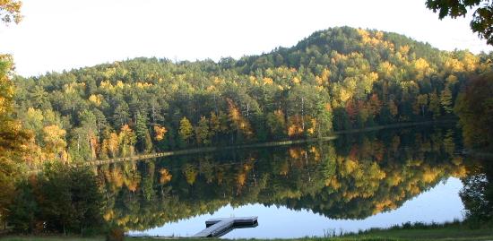
Located just north of Black Lake in northeast Cheboygan County, Twin Lakes stands apart from other lakes in the region in that it consists of a group of ten interconnected water bodies. Twin Lakes supports a diverse array of aquatic plant and animal life.
Owens Spillway, the dam controlling the outflow from Twin Lakes, was stabilized by Tip of the Mitt Watershed Council and the Twin Lakes Association in 2009. Purple loosestrife is present on lake, but being controlled with beetles through the ongoing efforts of the Twin Lakes Association.
Monitoring and Research:
Twin Lakes are monitored every three years through the Watershed Council’s Comprehensive Water Quality Monitoring (CWQM) Program for dissolved oxygen, specific conductivity, pH, nitrate-nitrogen, total nitrogen, total phosphorus, and chloride levels.
Water transparency, chlorophyll-a, and water temperature are also monitored in Twin Lakes each summer by volunteers as part of the Watershed Council’s Volunteer Lake Monitoring (VLM) Program.
Additional Resources:
See additional resources on our Aquavist page.
A wide variety of maps for this area are available online at the Michigan Natural Features Inventory (MNFI) Data Resources page.
| Title | Link |
|---|