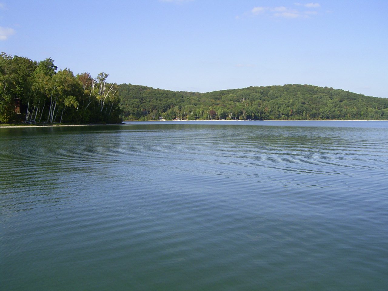
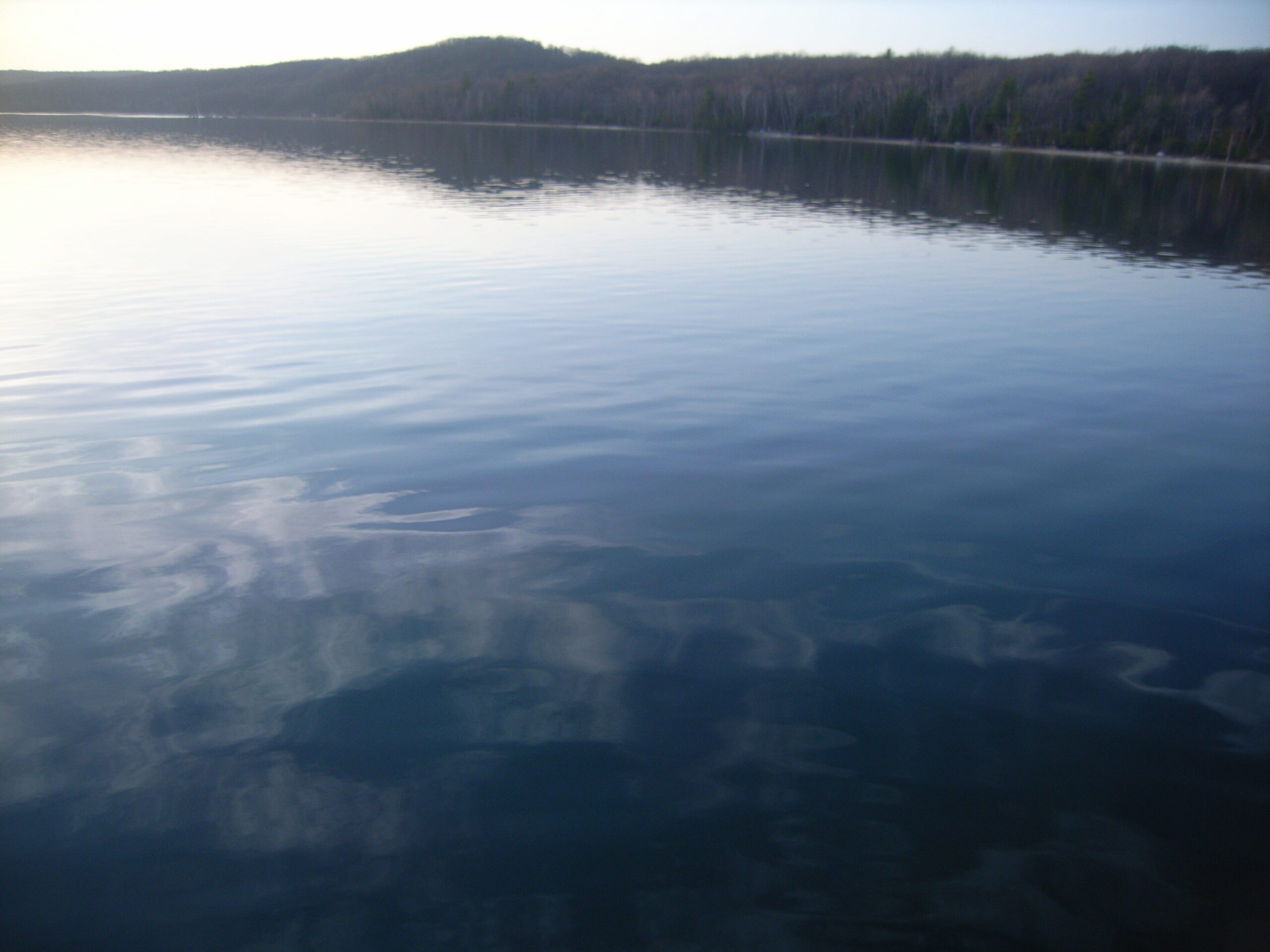
Description:
Thumb Lake (or Lake Louise) is a glacially formed kettle lake that sits in the headwaters of the Sturgeon River. There are a few minor inlets and no outlet streams. Due to the lack of an outlet, Thumb Lake is considered a seepage lake. Seepage lakes lose water only through evaporation and groundwater channels, which means that lake water has a long residence time in relation to drainage lakes (lakes with outlets). If Thumb Lake were to become seriously polluted, natural recovery would be slow because there are no outlet streams to flush out the pollutants.
The Thumb Lake watershed is a sub-watershed of the Sturgeon River watershed, which is, in turn, part of the larger Cheboygan River Watershed. Thumb Lake has a small watershed in relation to the lake’s surface area, measuring approximately 3,840 acres (does not include lake area). According to land cover statistics from a 2006 land cover dataset, the majority of the watershed is forested. Of land cover types that typically contribute to water quality degradation, there is little agriculture and even less urban/residential in the watershed.
Previously, there were some nutrient pollution problems as documented by a shoreline survey sponsored by the Lake Louise Christian Community (LLCC) and conducted by Watershed Council staff in 2000. Problems were addressed during follow-up activities and the 2007 shoreline survey showed few if any nutrient pollution problems.
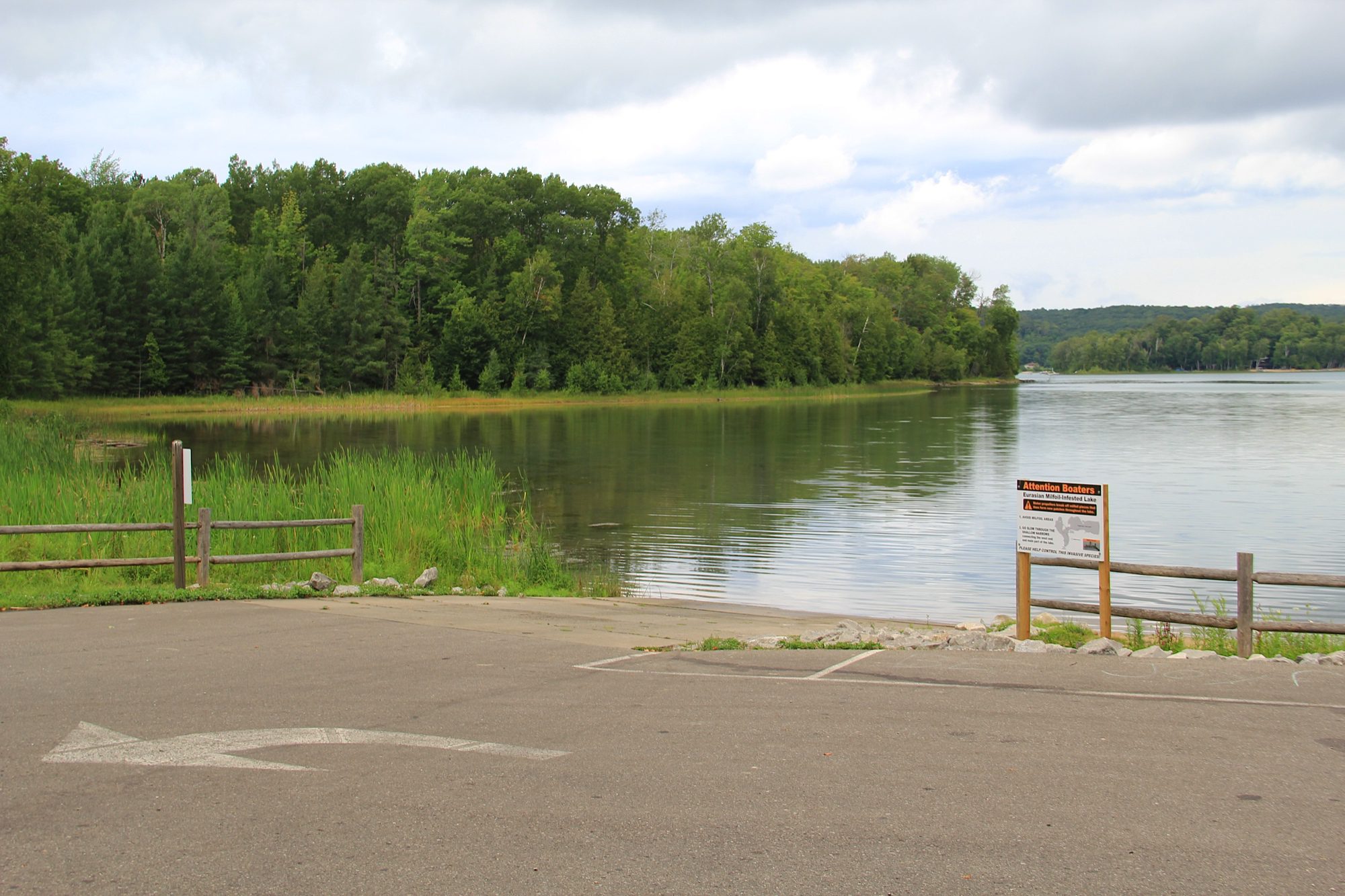
During a Watershed Council field trip in 2006, staff noticed a Eurasian watermilfoil (EWM) plant bed near the boat launch. LLCC has worked with the Watershed Council and EnviroScience, Inc. to locate Eurasian watermilfoil beds throughout the lake and control them biologically by stocking aquatic weevils that are native to the area and known to effectively control the invasive watermilfoil. In their efforts to control Eurasian watermilfoil, LLCC also installed benthic barriers, which are mats affixed to the lake bottom in infested areas that essentially suffocate the invasive plants.
Monitoring and Research:
Thumb Lake is monitored every three years through the Watershed Council’s Comprehensive Water Quality Monitoring (CWQM) Program for dissolved oxygen, specific conductivity, pH, nitrate-nitrogen, total nitrogen, total phosphorus, and chloride levels.
Water transparency, chlorophyll-a, and water temperature are also monitored in Thumb Lake each summer by volunteers as part of the Watershed Council’s Volunteer Lake Monitoring (VLM) Program.
Additional Resources:
See additional resources on our Aquavist page.
A wide variety of maps for this area are available online at the Michigan Natural Features Inventory (MNFI) Data Resources page.