Description:
Monitoring and Research:
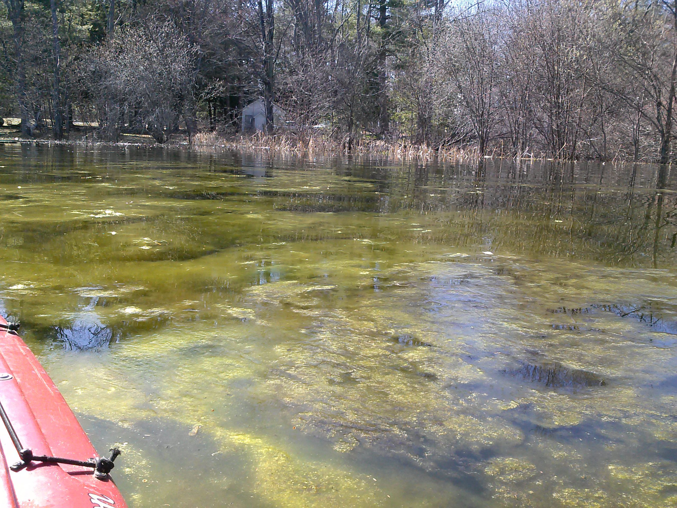
Thayer Lake is a small, shallow, biologically productive lake located in central Antrim County. The lake is located less than a mile south of Clam River, which flows between Clam Lake and Torch Lake. In fact, Thayer Lake is only a quarter mile east of Torch Lake.
Because Thayer Lake is shallow, it has a plethora of aquatic plants, none of which have been identified as invasive. These plants provide shelter and habitat for fish, crayfish, aquatic bugs, and other aquatic life.
Because Thayer Lake is shallow, it has a plethora of aquatic plants, none of which have been identified as invasive. These plants provide shelter and habitat for fish, crayfish, aquatic bugs, and other aquatic life.
Additional Resources:
See additional resources on our Aquavist page.
| Title | Link |
|---|---|
| 2017 Thayer Lake Shoreline Survey |