Description:
Six Mile Lake is situated between Scotts and St. Clair Lakes in the Elk River Chain of Lakes. Contrary to popular belief, it is actually only four miles long. Additionally, Six Mile Lake is the farthest upstream one can go by boat in the Chain of Lakes. The Dingman River, Six Mile’s primary inlet from Scotts Lake, is small and unnavigable. By boat one can travel as far downstream as the dam in Bellaire, which is past Intermediate Lake. With a short portage around the dams in Bellaire and Elk Rapids, a paddler could make it all the way out to Grand Traverse Bay, a distance of over 40 water miles.
At the outlet of Six Mile Lake along the Sinclair River lies the St. Claire Lake / Six Mile Lake Natural Area, which has about a mile of undeveloped protected shoreline.
Six Mile Lake has more tributaries than any other lake in the Chain, although most are very small and unnamed. Named streams include the Dingman River, the major inlet, and Liscon and Vance Creeks. There is a wide conifer swamp wetland in the vicinity of Liscon Creek and near the outlet to the Sinclair River, and marshy/swampy areas are found around the mouth of the Dingman River.
A narrow fringe of firm, sandy sediment is found along most of the shoreline out to a depth of one to four feet (depending how exposed the shore is to waves). At that depth, the sediments make a transition to mucky sand, and then to muck at a slightly greater depth. Trunks and branches of trees falling into the water were undoubtedly once common all around the shore, but this woody material (which provides very important habitat for fish and other aquatic organisms) is now found primarily along undeveloped stretches (having been removed from in front of most cottages to enhance boating and swimming).
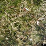
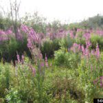
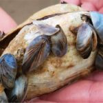
A diverse array of aquatic plants (but primarily pondweeds and native or Eurasian watermilfoil) grow profusely in many areas where the water is shallow enough for sunlight to reach the bottom (generally areas shallower than 12-15 feet), especially along the “dropoff.” Pond lilies form dense growths, especially in protected coves, and emergent rushes ring the shore in most places. Although nutrients associated with lakeshore development have probably somewhat increased the abundance of aquatic plants, they were probably always abundant here. Eurasian watermilfoil was first documented in Six Mile Lake in 2008 during a Watershed Council shore survey, and since then has proven itself to be difficult to control. The Six Mile Lake Association has been working diligently to manage the invasive plant.
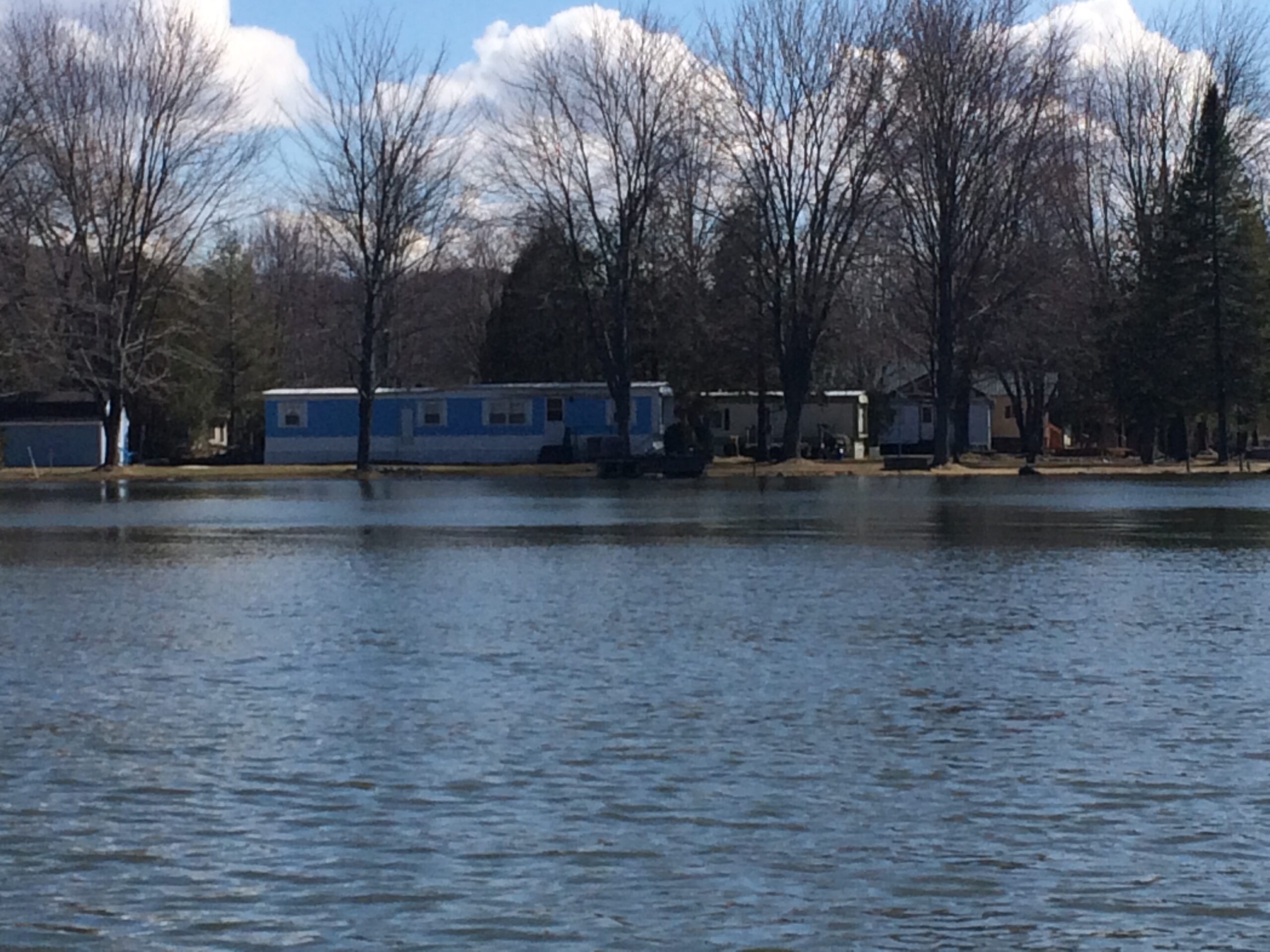
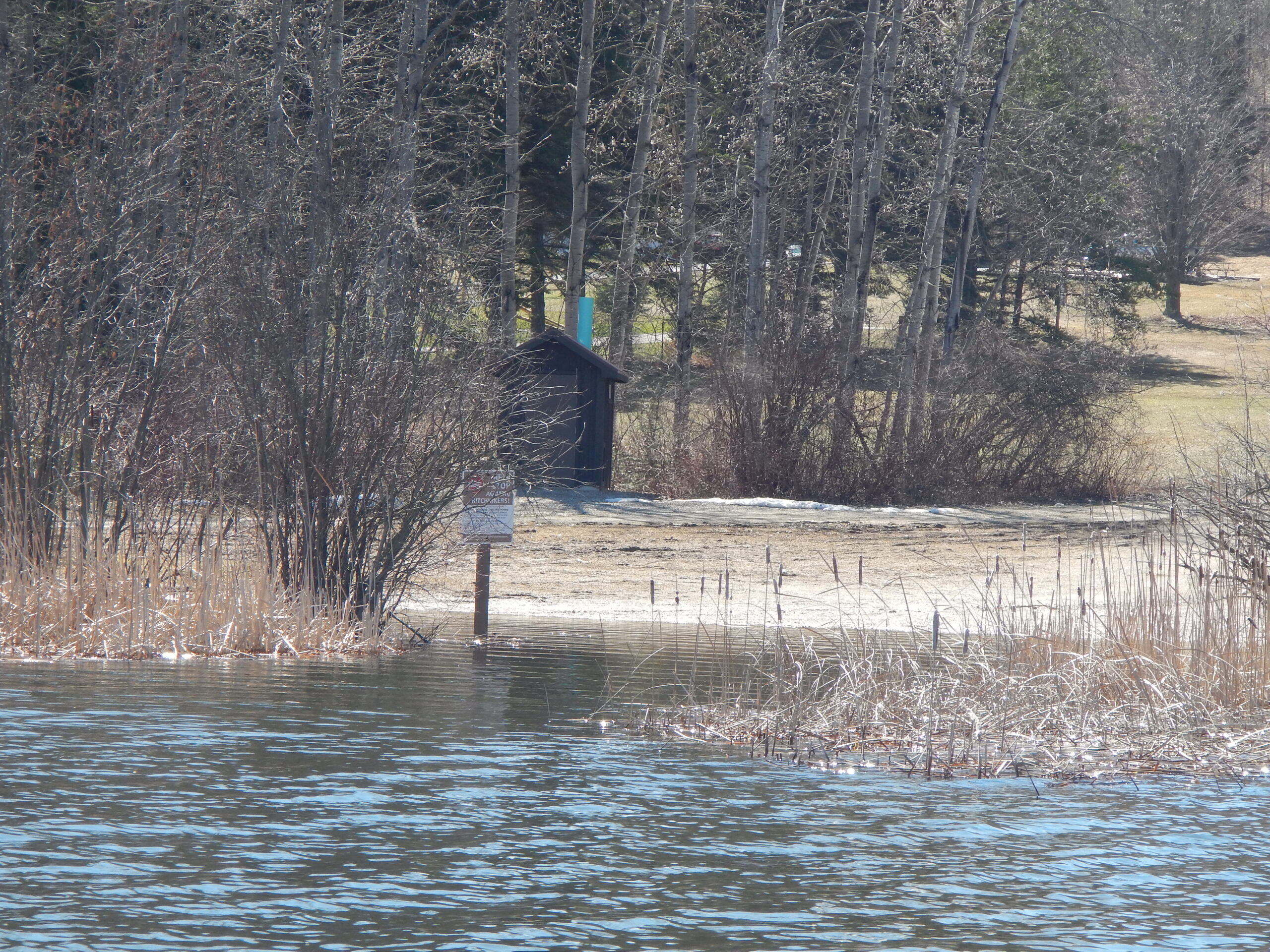
The lake’s public access sites include an MDNR boat launch, three township parks, a road right-of way, and an undeveloped wetland at the mouth of the Dingman River owned by Antrim County.
Like to fish? Fish species identified during various Department of Natural Resources surveys include small- and largemouth bass, northern pike, muskellunge, rock bass, black crappie, yellow perch, bluegill, walleye, and pumpkinseed. Northern pike, walleye, largemouth bass, yellow perch, and bluegills are reported to be the mainstay of the sport fishery in Six Mile Lake.
Monitoring and Research:
Six Mile Lake is monitored through the Watershed Council’s Comprehensive Water Quality Monitoring (CWQM) Program and Volunteer Lake Monitoring
(VLM) Program.
The Elk River Chain of Lakes Watershed Plan Implementation Team meets regularly and is working to protect the lakes in the Chain.
Additional Resources:
See additional resources on our Aquavist page.
A wide variety of maps for this area are available online at the Michigan Natural Features Inventory (MNFI) Data Resources page.
Shoreline Survey:
Elk River Chain of Lakes Shoreline Survey
Project Summary During the summers of 2016 and 2017, the Tip of the Mitt Watershed Council led a coordinated effort to conduct a shoreline survey for 15 Lakes in the Elk River Chain of Lakes Watershed. The surveys were meant to document conditions that could impact water quality, including the