Description:
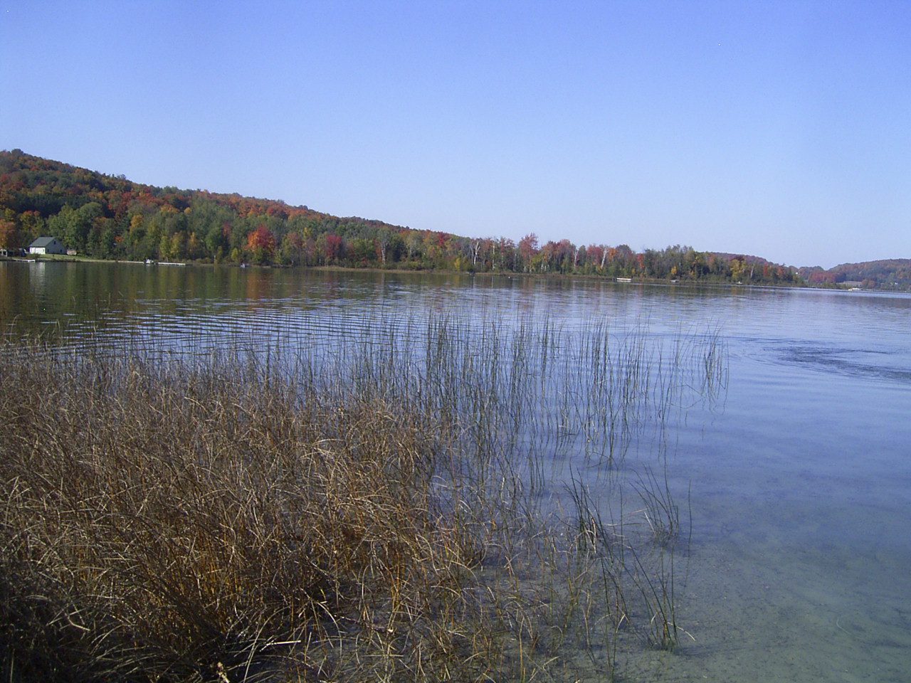
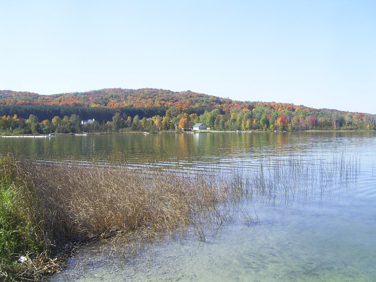
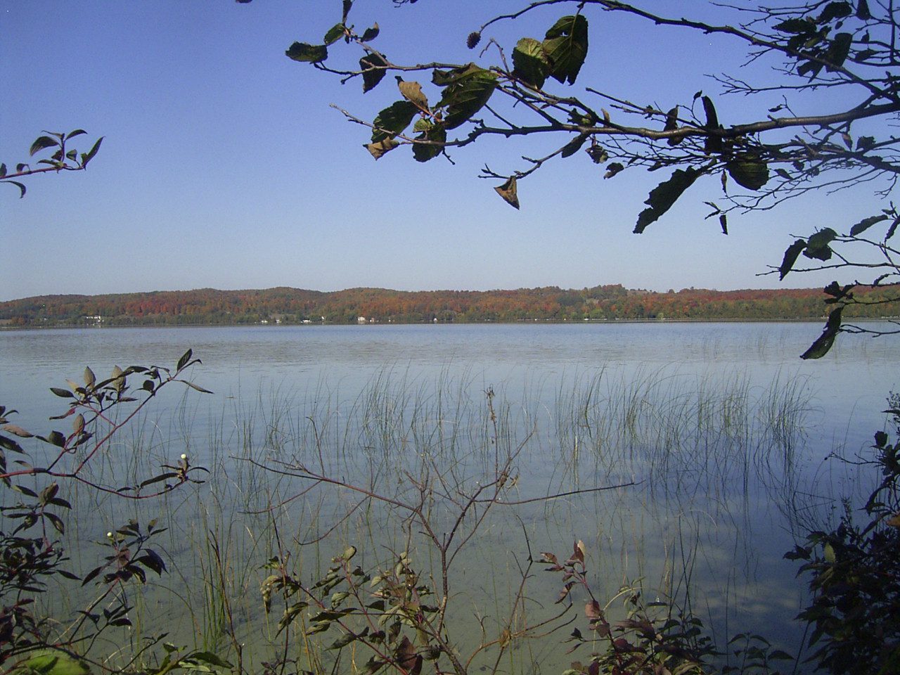
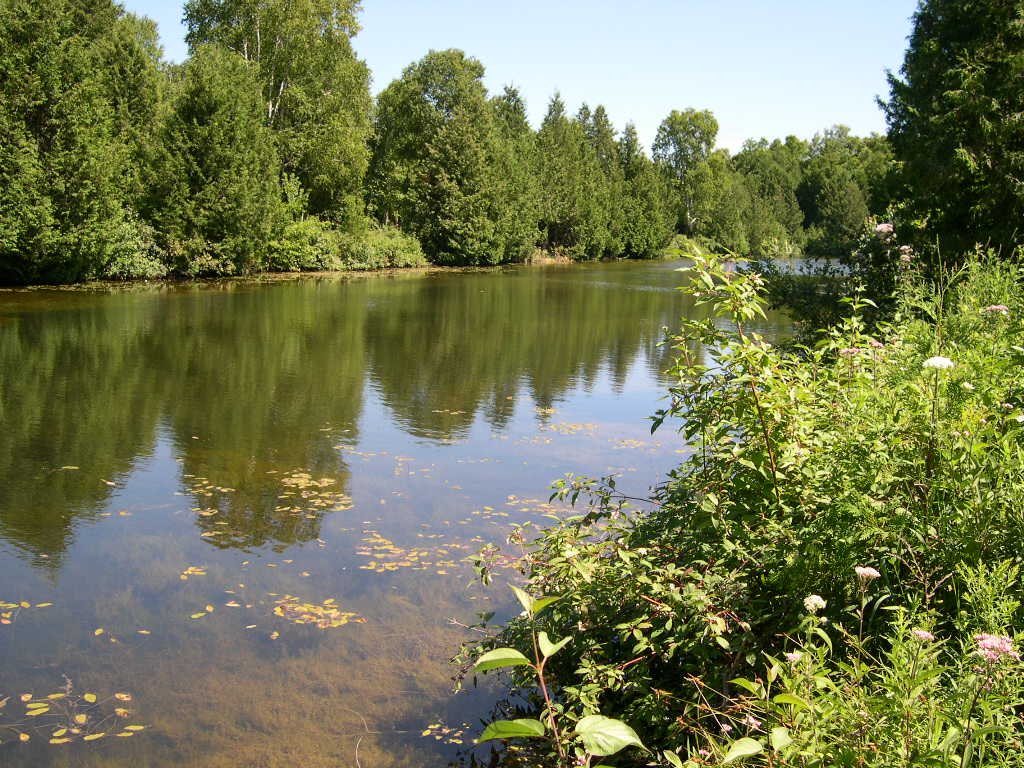
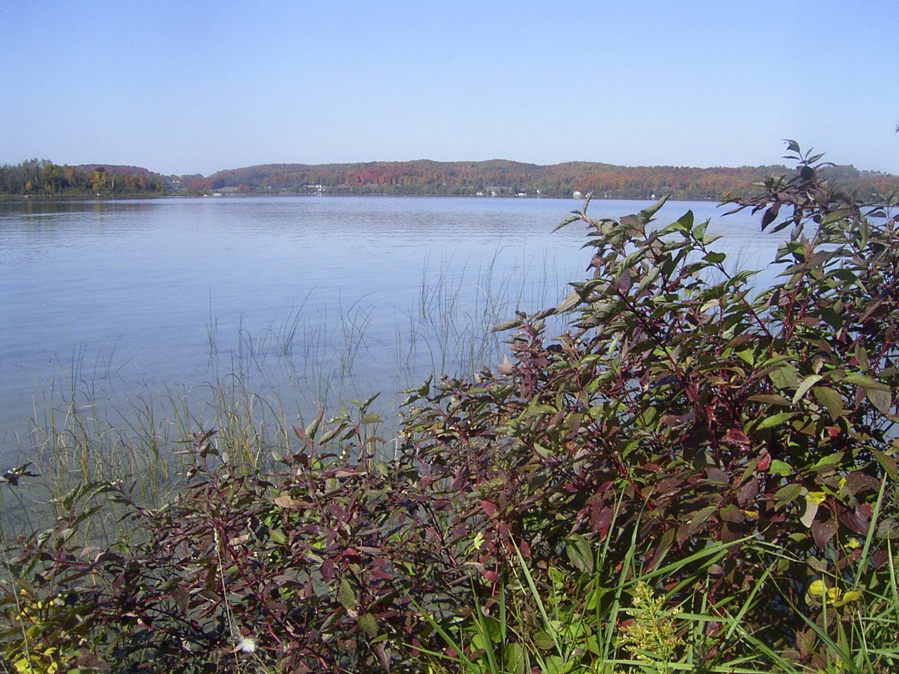
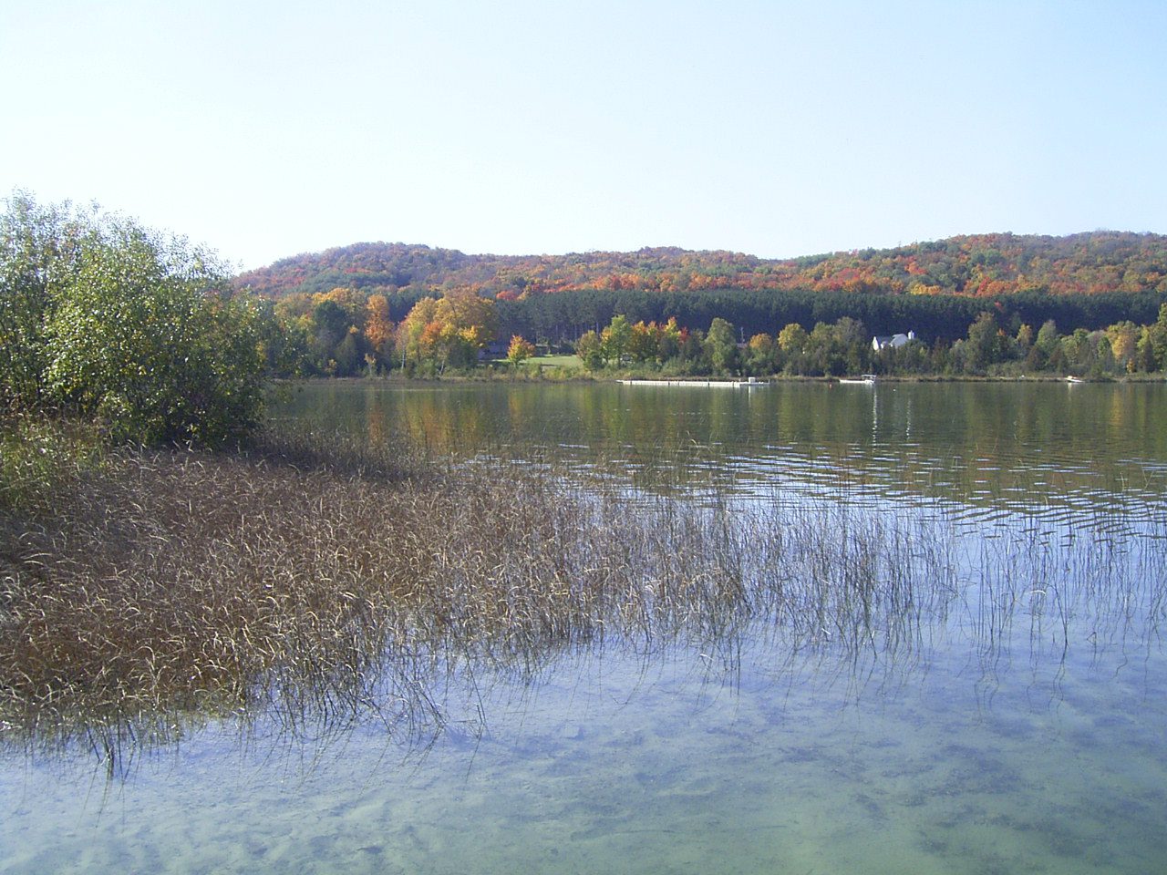
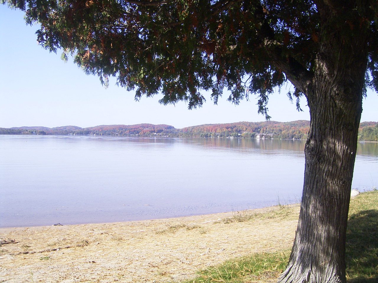
Deer Lake is moderately sized kettle lake located in south-central Charlevoix County. High hills stand between the lake and Boyne City to the north, Boyne Falls to the east, and East Jordan to the west. Deer Lake sits at the headwaters of Deer Creek, which is a major tributary of the Jordan River. Deer Creek begins as an outflow from the lake and flows nearly 10 miles west before its confluence with the Jordan River to the south of East Jordan. Deer Lake is therefore part of the Jordan River and larger Lake Charlevoix Watersheds.
Residents in the surrounding area value Deer Lake as an escape where one can go to enjoy a relaxing day on the water in relative peace; soaking up sights and sounds of the lake with little interference from other people. The Boyne Mountain Golf Course and Deer Lake Villas, both associated with Boyne Resorts, are located on the southeast side of the lake. Falls Park of Wilson Township is located on the west shore of the lake and is popular destination for fishing. South of the lake is a large expanse of State Forest in the Gaylord Management Unit.
Monitoring and Research:
Deer Lake is monitored every three years through the Watershed Council’s Comprehensive Water Quality Monitoring (CWQM) Program for dissolved oxygen, specific conductivity, pH, nitrate-nitrogen, total nitrogen, total phosphorus, and chloride levels.
It is NOT currently monitored through the Watershed Council’s Volunteer Lake Monitoring (VLM) Program. If you are interested in becoming a volunteer, contact the Watershed Council at 231-347-1181.
The Lake Charlevoix Watershed Management Plan Advisory Committee meets regularly to discuss watershed issues and work together to implement plan recommendations, including those pertaining to Deer Lake.
Additional Resources:
See additional resources on our Aquavist page.
View an interactive map of Deer Lake at Michigan Fishweb.
A wide variety of maps for this area are available online at the Michigan Natural Features Inventory (MNFI) Data Resources page.