Description:
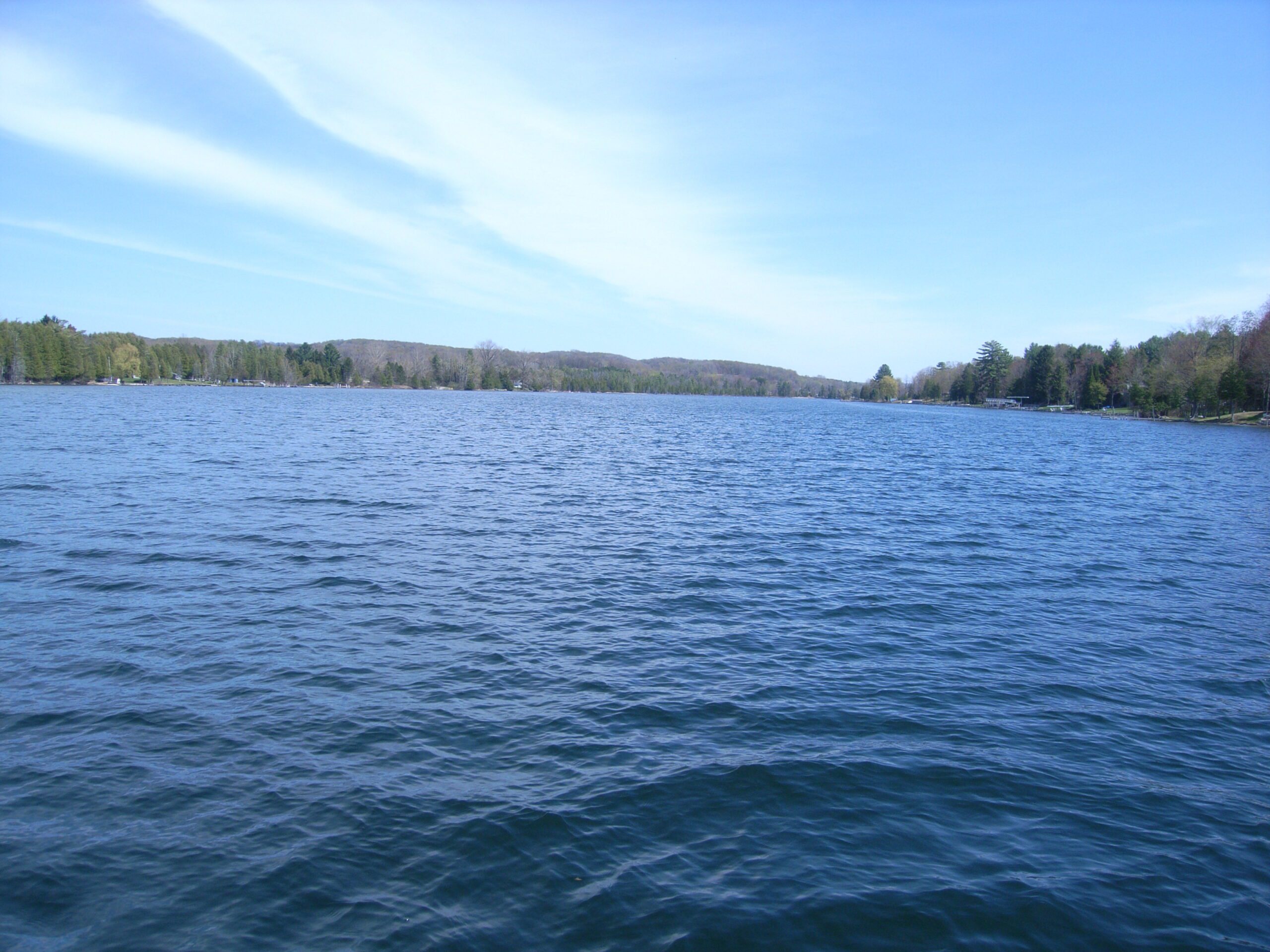
Clam Lake is a long, slender lake situated in a valley between Torch Lake and Lake Bellaire in the Elk River Chain of Lakes in Antrim County. The lake and valley were formed by the gouging and grinding of glaciers, which is evident in the coarse-textured glacial till of the surrounding hills. Soils along the Clam Lake shoreline largely consist of sands and gravels that were deposited when water levels were higher.
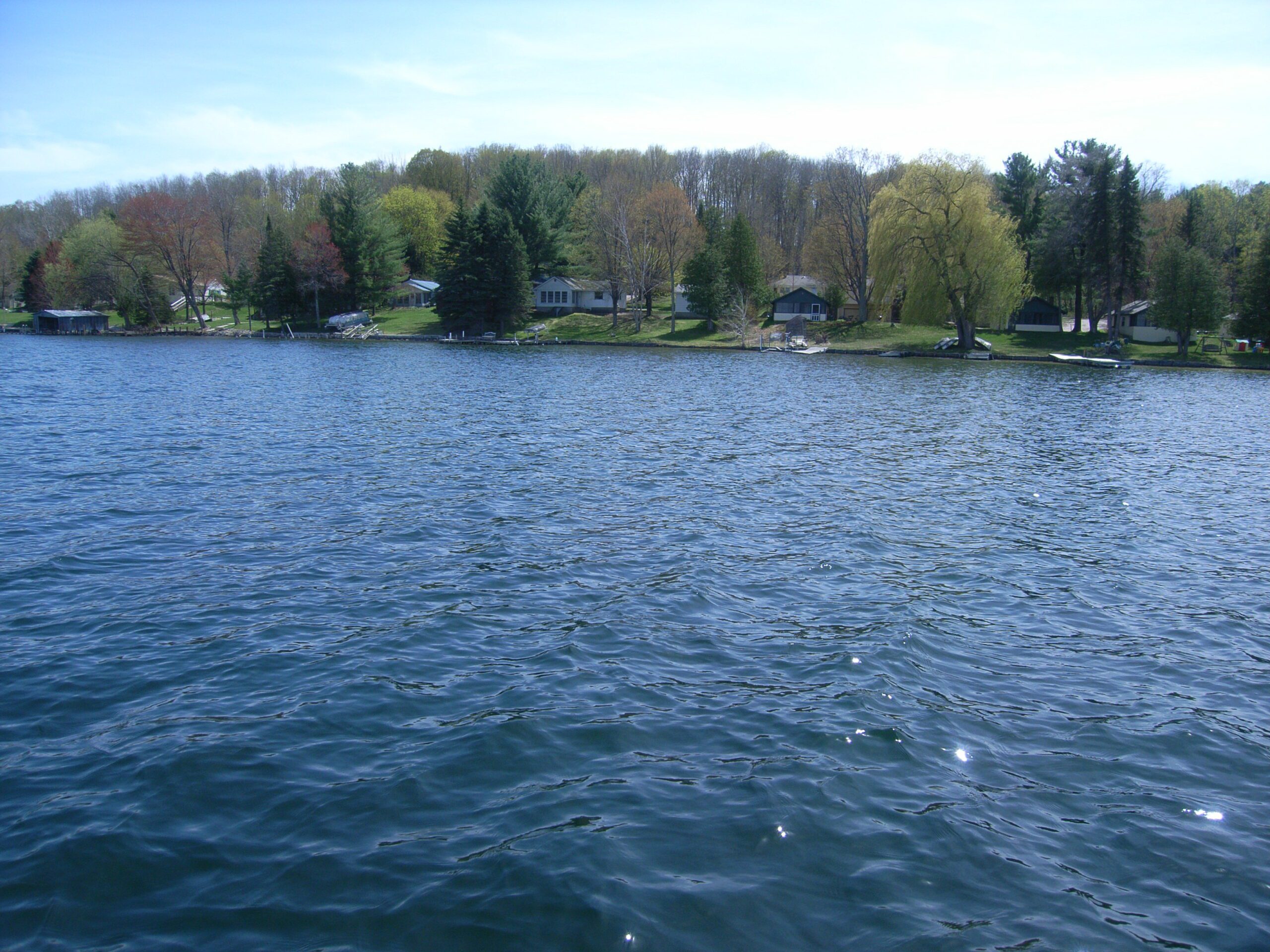
Clam Lake is a popular destination for recreational activities like boating and fishing. Its primary inflow is the Grass River, which drains the Upper Chain of Lakes and includes the expansive Grass River Natural Area. Water flows out at the west end of the lake through the ¼-mile long Clam River and into Torch Lake. The riparian area of the Clam River is impacted from marina and other commercial development.
Concerns about excessive sediments in the Grass River led to an intensive study of the river and its tributaries in 2011 and 2012 by watershed stakeholders, water resource management organizations and academic researchers. The study led to the placement of large woody debris structures in the river in 2013 to maintain navigation depths by harnessing the river’s natural energy and provide the additional benefit of habitat improvement.
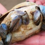
Fish found during DNR surveys of Clam Lake and the Clam River include mudminnow; long nose gar; northern pike; yellow perch; brown, black, and yellow bullhead; large- and smallmouth bass; bluegill; rock bass; white sucker; pumpkinseed; longear sunfish; muskellunge; blacknose, spottail, blackchin, emerald, and sand shiners; bluntnose minnow; banded killifish; logperch; johnny and Iowa darter; walleye; and black crappie.
Monitoring and Research:
Clam Lake is monitored every three years through the Watershed Council’s Comprehensive Water Quality Monitoring (CWQM) Program for dissolved oxygen, specific conductivity, pH, nitrate-nitrogen, total nitrogen, total phosphorus, and chloride levels.
This lake is monitored through the State’s Cooperative Lakes Monitoring Program (CLMP).
The Elk River Chain of Lakes Watershed Plan Implementation Team meets regularly and is working to protect the lakes in the Chain.
Shoreline Survey:
Elk River Chain of Lakes Shoreline Survey
Project Summary During the summers of 2016 and 2017, the Tip of the Mitt Watershed Council led a coordinated effort to conduct a shoreline survey for 15 Lakes in the Elk River Chain of Lakes Watershed. The surveys were meant to document conditions that could impact water quality, including the
Document Resources
| Title | Link |
|---|---|
| 2022 Elk River Chain of Lakes Watershed Management Plan | |
| 2017 Clam Lake Shoreline Survey | |
| 2014-2015 Elk River Invasive Species Monitoring Project Report | |
| 2013 Lake Bellaire and Clam Lake Aquatic Plant Survey | |
| 2010 Lake Bellaire, Clam Lake, Torch Lake Shoreline Algal Survey | |
| 2010 Elk River Chain of Lakes Profile CWQM |
Additional Resources:
See additional resources on our Aquavist page.
View an interactive map of Clam Lake, including public access sites, at Michigan Fishweb.
A wide variety of maps for this area are available online at the Michigan Natural Features Inventory (MNFI) Data Resources page.