Project Summary
Larks Lake is a small inland lake, covering 600 acres, located in northern Emmet County. Larks Lake is located within the larger Burt Lake watershed. In 2022, Tip of the Mitt Watershed Council conducted a shoreline survey on Larks Lake, which was funded by the Larks Lake Association. The shoreline survey was completed to document the shoreline conditions and their impact on the water quality of the lake.
The survey recorded the following along the shoreline: algae density, erosion severity, shoreline alterations, greenbelt scores and parcel development. The shoreline survey created a comprehensive data set that can be used as a lake management tool, and help determine next steps to maintain lake health and the water quality of Larks Lake.
For the full 2022 Larks Lake Shoreline Survey Report, click here.
Welcome to the 2022 Shoreline Survey of Larks Lake. First, find your unique ID on the mailing letter sent to your property. Next, enter your unique ID in the box on the left under “Unique ID number–Type in your unique ID.”
A legend for each map layer is shown by clicking the arrow next to the checked layer.
Tip of the Mitt Watershed Council conducted a 2022 Shoreline Survey of Larks Lake with funding from the Larks Lake Association. The Watershed Council circumnavigated the entire Larks Lake shoreline on kayaks to document signs of nutrient pollution (algal growth), habitat loss, and shoreline erosion.
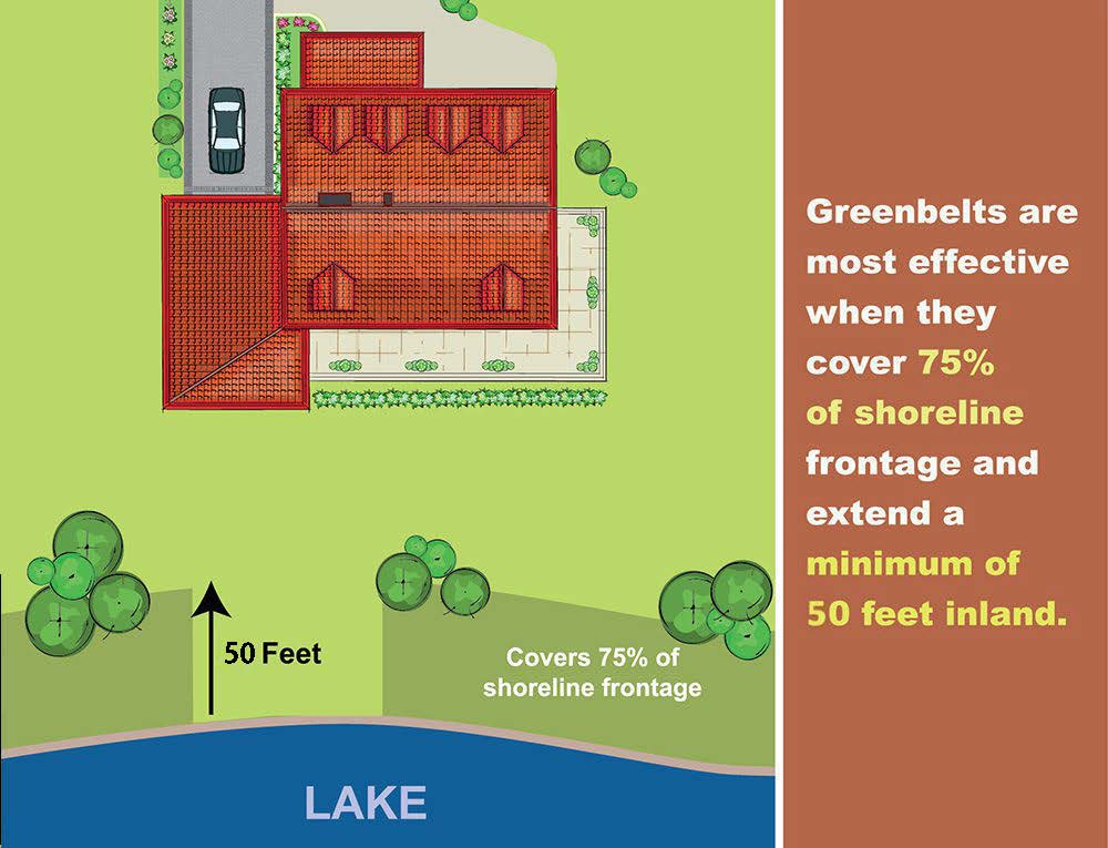
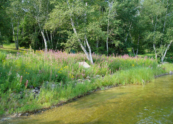
Greenbelt Scores
Table 8. Greenbelt Scoring Chart.
Score | Length (%) | Depth (feet) |
0 | Absent | Absent |
1 | <10% | <10 |
2 | 10-25% | 10-40 |
3 | 25-75% | >40 |
4 | >75% | N/A |
Greenbelt ratings for the length and depth of the vegetation were summed to produce an overall score describing the status, or health, of the greenbelt. Scores of 0 were considered very poor, 1-2: poor, 3-4: moderate, 5-6: good, and 7: excellent.
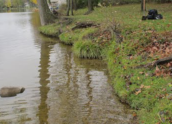
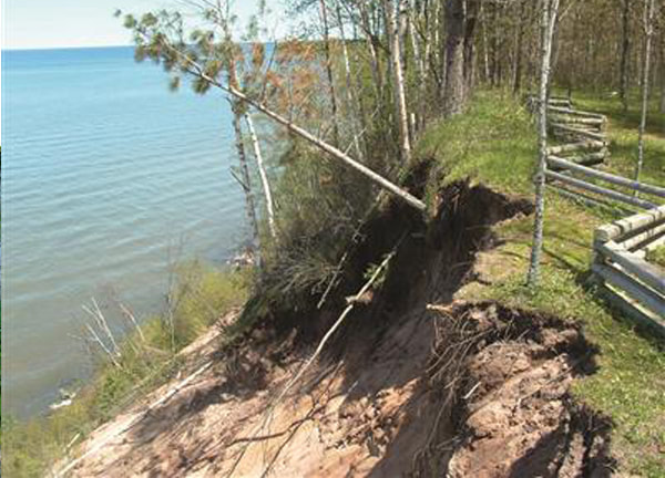
Erosion Severity
L = Exposed soils, gullies up to 1″ deep. |
M = Exposed soils, gullies greater than 1″ but less than 6″ deep, and/or banks undercut by 6″ (minor slumping) |
H = Exposed soils, gullies greater than 6″ deep, and/or banks undercut by more than 6″ (severe slumping) |
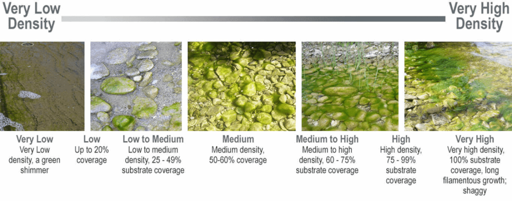
Cladophora Density
To improve your stewardship, visit the Michigan Shoreland Stewards (MiSS) website. The MiSS program provides recognition for lakefront property owners who are protecting inland lakes through best management practices on their property and provides recommendations for improving your shoreline

