Description:
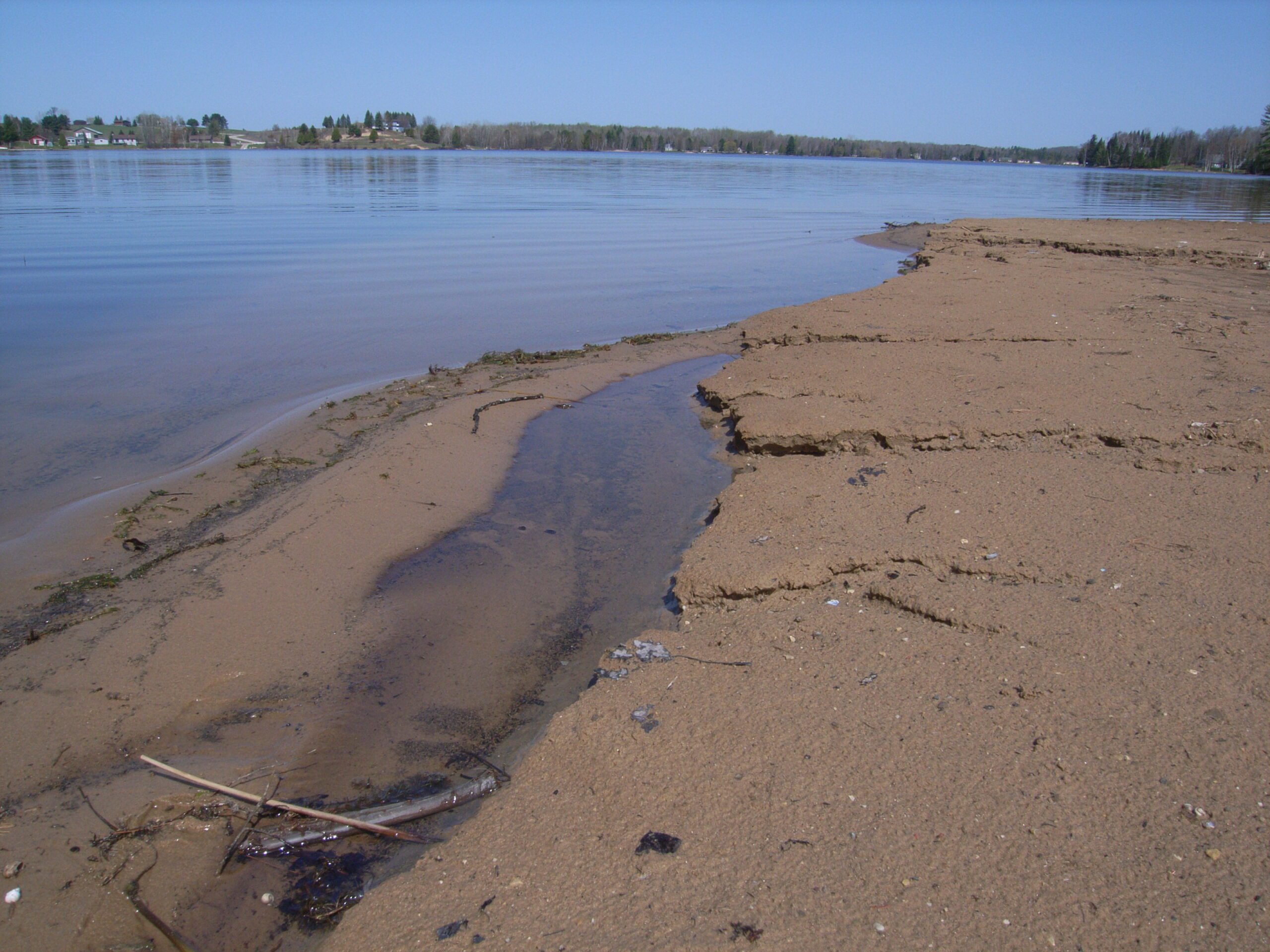
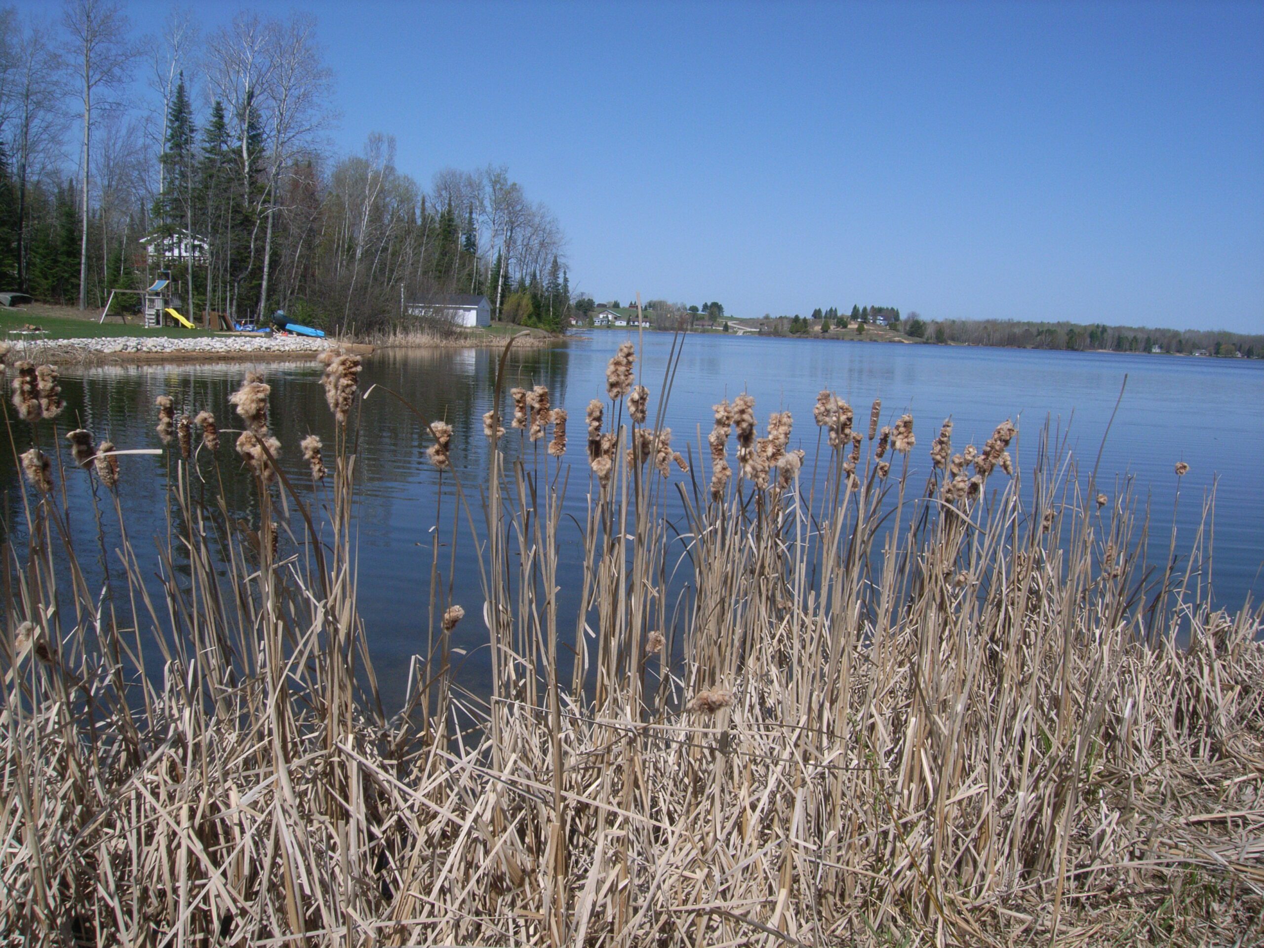
Wildwood Lake is an impounded lake, which was formed by damming a small tributary that flows into Lance Lake and the Sturgeon River. Water quality data show the lake to have relatively low levels of nutrients; however, the lake is plagued with heavy aquatic plant growth, which is likely the result of the unnatural formation of the lake, shallow depth, and poor riparian property management.
Monitoring and Research:
Wildwood Lake is monitored every three years through the Watershed Council’s Comprehensive Water Quality Monitoring (CWQM) Program for dissolved oxygen, specific conductivity, pH, nitrate-nitrogen, total nitrogen, total phosphorus, and chloride levels.
It is NOT currently monitored through the Watershed Council’s Volunteer Lake Monitoring (VLM) Program. If you are interested in becoming a volunteer, contact the Watershed Council at 231-347-1181.
Additional Resources:
See additional resources on our Aquavist page.
A wide variety of maps for this area are available online at the Michigan Natural Features Inventory (MNFI) Data Resources page.