Description:
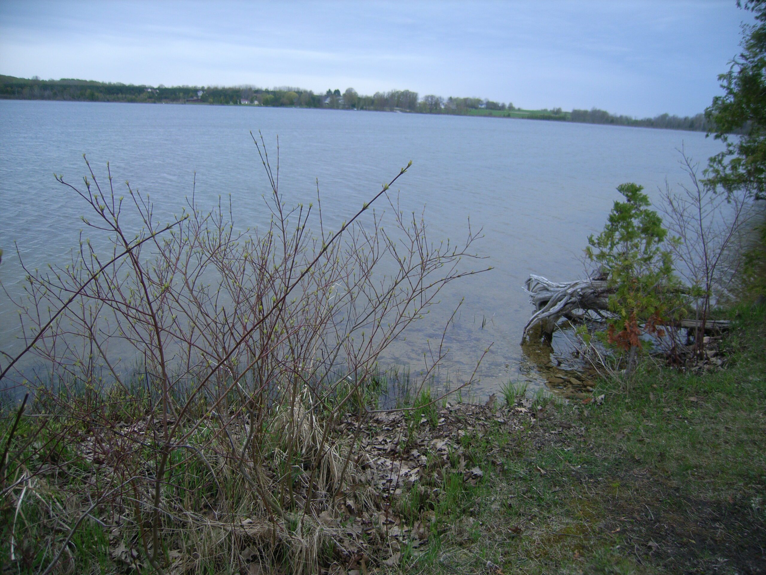
Nowland Lake is a small lake located in western Charlevoix County, to the southwest of Ironton. Although largely pristine, the lake has some agriculture just north of the public access site on the western shore and there is some residential development on the eastern shore.
Monitoring and Research:
Nowland Lake is monitored every three years through the Watershed Council’s Comprehensive Water Quality Monitoring (CWQM) Program for dissolved oxygen, specific conductivity, pH, nitrate-nitrogen, total nitrogen, total phosphorus, and chloride levels.
Water transparency, chlorophyll-a, and water temperature are also monitored in Nowland Lake each summer by volunteers as part of the Watershed Council’s Volunteer Lake Monitoring (VLM) Program.
Additional Resources:
See additional resources on our Aquavist page.
A wide variety of maps for this area are available online at the Michigan Natural Features Inventory (MNFI) Data Resources page.