Description:
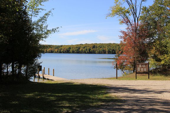
Munro Lake is located in Cheboygan County, just north of Douglas Lake. Formed by glaciers, it is relatively small and shallow compared to other Northern Michigan inland lakes. Water from the lake flows via a small stream into Lancaster Lake followed by Douglas Lake where it outlets near Marl Bay. From there, the water enters the East Branch of the Maple River and continues through the Inland Waterway and into Lake Huron via the Cheboygan River.
Fish of Munro Lake include bluegill, bluntnose minnow, bowfin, brown bullhead, white sucker, Iowa darter, johnny darter, killifishes, largemouth bass, northern pike, pumpkinseed, rock bass, smallmouth bass, spottail shiner, and yellow perch.
Monitoring and Research:
Munro Lake is monitored every three years through the Watershed Council’s Comprehensive Water Quality Monitoring (CWQM) Program for dissolved oxygen, specific conductivity, pH, nitrate-nitrogen, total nitrogen, total phosphorus, and chloride levels.
Water transparency, chlorophyll-a, and water temperature are also monitored in Munro Lake each summer by volunteers as part of the Watershed Council’s Volunteer Lake Monitoring (VLM) Program.
Additional Resources:
See additional resources on our Aquavist page.
A wide variety of maps for this area are available online at the Michigan Natural Features Inventory (MNFI) Data Resources page.