
Description:
Long Lake is located in the northern tip of the Lower Peninsula of Michigan; in Aloha Township (T36N.-R1W-S1,2,3,11,12) in northeast Cheboygan County. It is nestled between Mullett and Black Lakes in northern Cheboygan County. It is a popular lake for swimmers, boaters, and anglers alike.
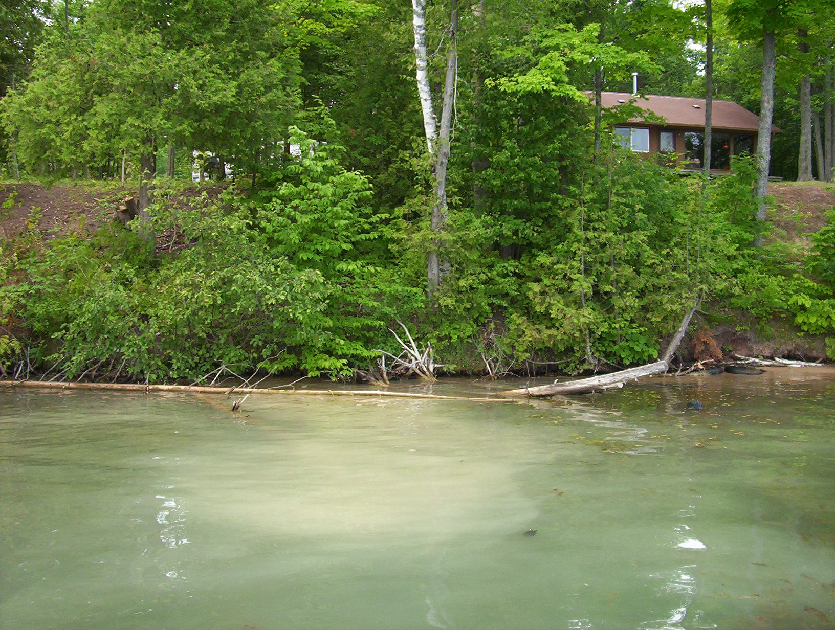
Long Lake is a drainage lake with water flowing into and out of the lake. Long Lake Creek is the only outlet, exiting the southeast side of the lake and draining into the Black River. There are no major inlet streams, though a large wetlands complex on the northwest end probably contributes water in addition to groundwater inputs that seep into the lake from nearshore areas.
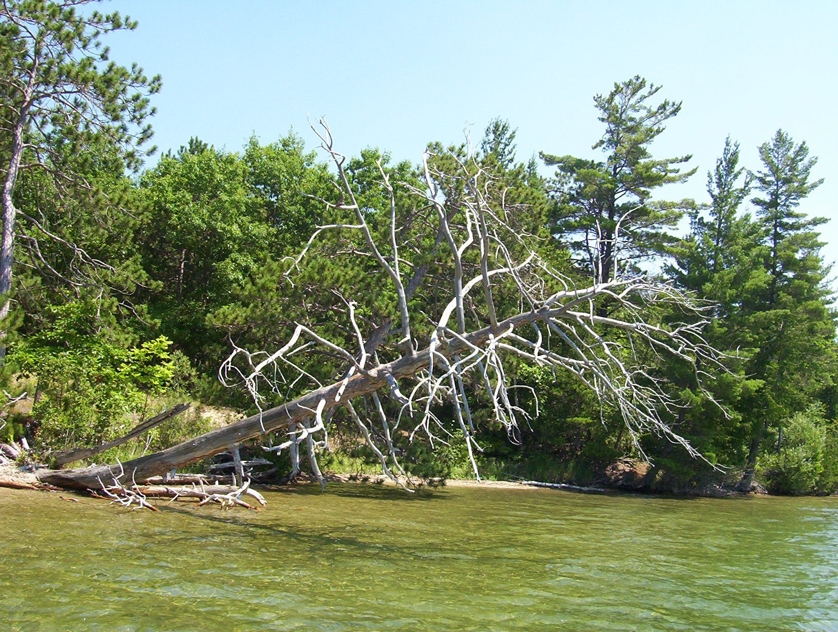
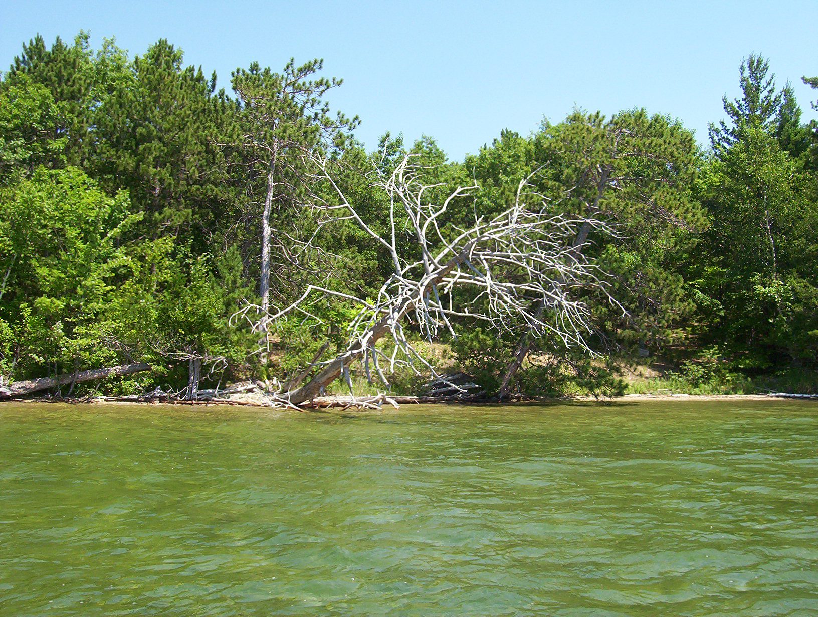
Long Lake is narrow, long, and relatively deep considering its surface area. Long Lake is composed of three distinct basins: the northwest, central, and southeast basins. The deepest point in Long Lake is 61 feet, which is located in the northern end of the southeast basin. The northwest and central basins are shallower with maximum depths of approximately 35 and 30 feet, respectively. From northwest to southeast, the lake measures just over two miles and has a maximum width of less than 0.40 miles. The Long Lake shoreline measures 5.5 miles and the lake surface area totals 392 acres.
Long Lake is in the Cheboygan River Watershed, one of the largest watersheds in Northern Michigan at over 950,000 acres. It drains into the Lower Black River via Long Lake Creek, then into the Cheboygan River and out into Lake Huron at the City of Cheboygan. The Long Lake watershed encompasses over 1500 acres, which includes the lake area. Land cover statistics from 2006 for the Long Lake Watershed show there is little urban landcover within the watershed (~3.5%) and even less agricultural (~0.3%). The majority of the watershed’s landcover is natural; consisting of forest, water, wetlands, and grassland.
Eurasian watermilfoil, an aggressive invasive aquatic plant, was identified and mapped by Watershed Council staff during an aquatic vegetation survey on Long Lake in 2005. Since then, the Cheboygan Long Lake Area Association has been working diligently to keep it under control, contracting with EnviroScience, Inc. to stock aquatic weevils as a biological control and sponsoring three comprehensive aquatic vegetation surveys.
Monitoring and Research:
Long Lake is monitored every three years through the Watershed Council’s Comprehensive Water Quality Monitoring (CWQM) Program for dissolved oxygen, specific conductivity, pH, nitrate-nitrogen, total nitrogen, total phosphorus, and chloride levels.
Water transparency, chlorophyll-a, and water temperature are also monitored in Long Lake each summer by volunteers as part of the Watershed Council’s Volunteer Lake Monitoring (VLM) Program.
Additional Resources:
See additional resources on our Aquavist page.
View an interactive map of Long Lake, including public access sites, at Michigan Fishweb.
A wide variety of maps for this area are available online at the Michigan Natural Features Inventory (MNFI) Data Resources page.