Description:
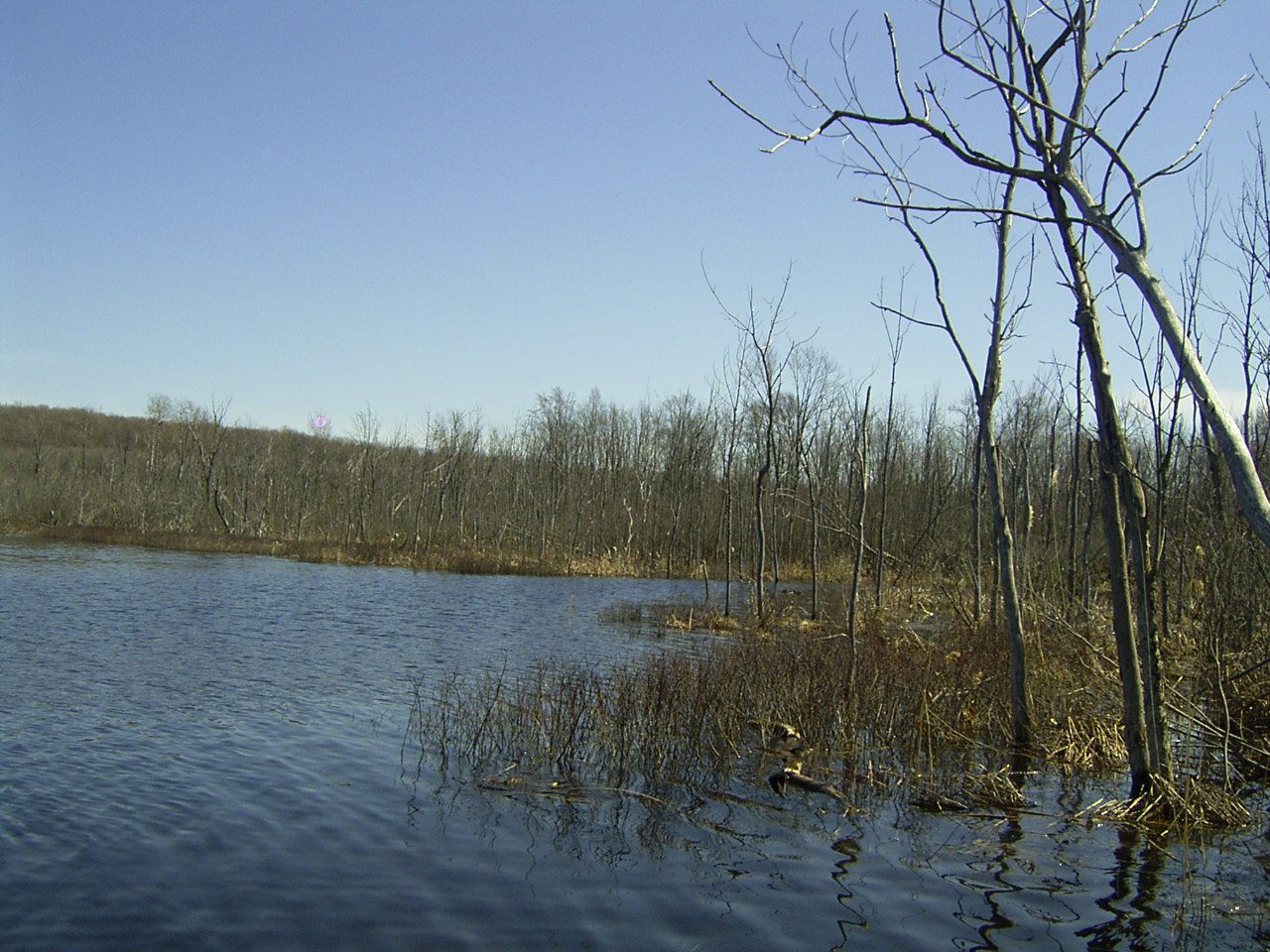
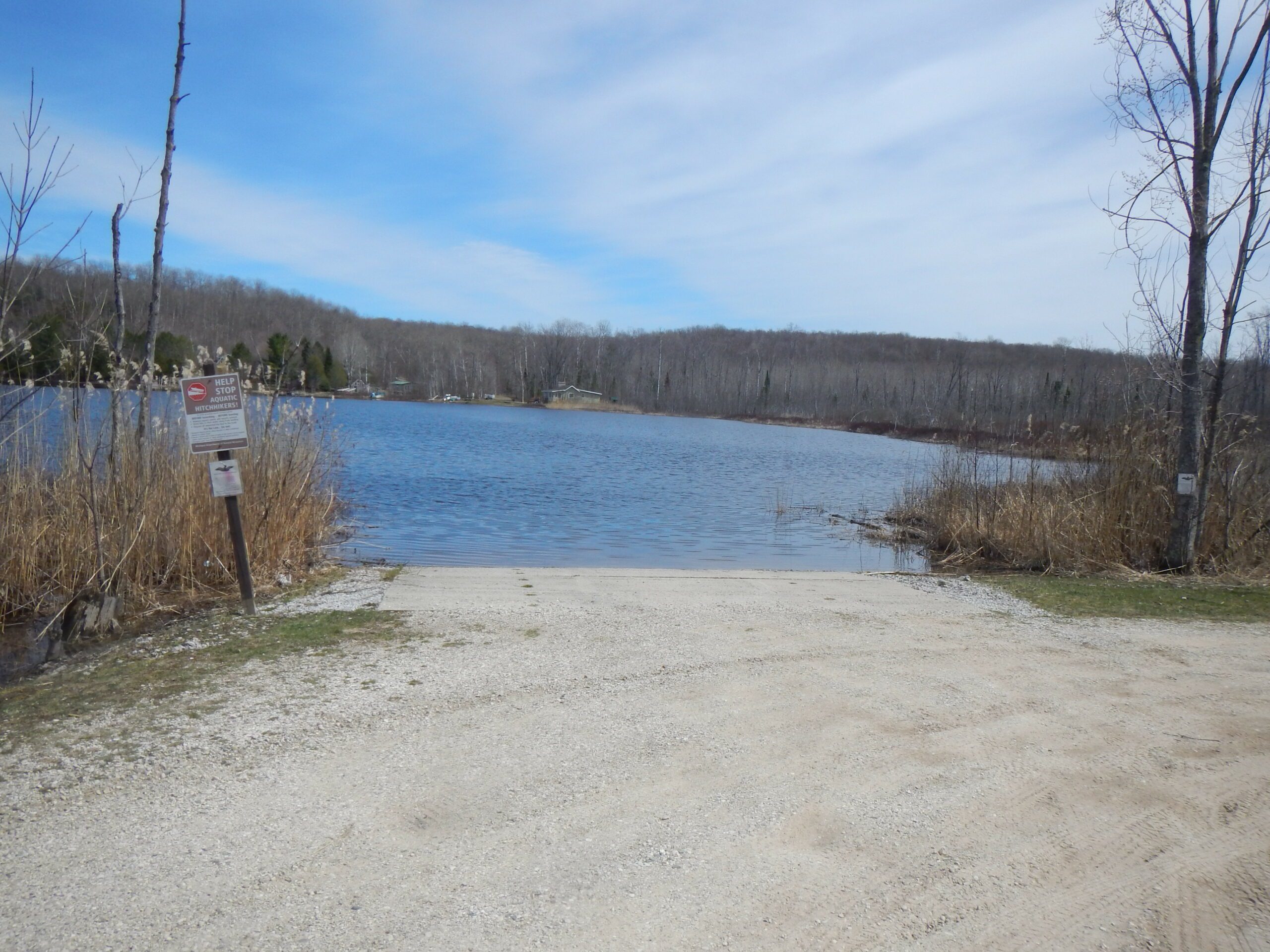
Lancaster Lake is a small, deep lake to the north of Douglas Lake in Cheboygan County. The lake’s shoreline is largely undeveloped, with wetlands present along its southern, western, and northern shores. The wetlands along its shore contribute to the dark tannin-stained waters found in Lancaster Lake. It is fed by a few small tributaries, one from Munro Lake. Lancaster Lake is part of the Cheboygan River Watershed. It drains into Douglas Lake via Bessy Creek, which drains into Burt Lake via the East Branch of the Maple River. The water from Lancaster Lake then travels through the Inland Water Route and empties into Lake Huron at the City of Cheboygan.
Monitoring and Research:
Lancaster Lake is monitored every three years through the Watershed Council’s Comprehensive Water Quality Monitoring (CWQM) Program for dissolved oxygen, specific conductivity, pH, nitrate-nitrogen, total nitrogen, total phosphorus, and chloride levels.
It was formerly monitored through the Volunteer Lake Monitoring (VLM) Program. If you are interested in becoming a volunteer monitor, contact the Watershed Council at 231-347-1181.
Additional Resources:
See additional resources on our Aquavist page.