Project Summary
The Burt Lake Watershed lies in the very center of Northern Michigan and sprawls over nearly 375,000 acres. The watershed includes some of the State’s greatest natural resources. Thousands of residents live and recreate on the watershed’s lakes and streams, and thousands more come as tourists to enjoy the opportunities these high-quality water resources have to offer. Northern Michigan depends on these resources and their protection is critical. In 2013, Tip of the Mitt Watershed Council acquired funding from the Michigan Department of Environment, Great Lakes, and Energy (EGLE) to develop a nonpoint source pollution watershed management plan for the Burt Lake-Sturgeon River watershed. The Plan was approved in 2018 and identified the following sources of nonpoint source pollution: poor shoreline management and weak water resource protection ordinances, along with stormwater road/stream crossings, streambank erosion, and septic systems. In 2021, the Watershed Council acquired funding from EGLE’s Nonpoint Source Program by the United States Environmental Protection Agency (EPA) to address poor shoreline management and weak water resource protection ordinances. In addition to outreach and education, trainings, and ordinance work, the Watershed Council assessed shoreline conditions on Burt Lake in 2022, to create a plan for riparian buffer installations. Shoreline conditions were assessed in a survey based on the Quality Assurance Project Plan (QAPP) created for the project.
For the full 2022 Burt Lake Shoreline Survey Report, click here.
Welcome to the 2022 Shoreline Survey of Burt Lake. First, find your unique ID on the mailing letter sent to your property. Next, enter your unique ID in the box on the left under “Unique ID number–Type in your unique ID.”
A legend for each map layer is shown by clicking the arrow next to the checked layer.
Tip of the Mitt Watershed Council conducted a 2022 Shoreline Survey of Burt Lake with funding from the Michigan Department of Environment, Great Lakes, and Energy’s 319 Nonpoint Source Pollution Control Grant. The Watershed Council circumnavigated the entire Burt Lake shoreline on kayaks to document signs of nutrient pollution (algal growth), habitat loss, and shoreline erosion.
Greenbelt Scores
Table 8. Greenbelt Scoring Chart.
Score | Length (%) | Depth (feet) |
0 | Absent | Absent |
1 | <10% | <10 |
2 | 10-25% | 10-40 |
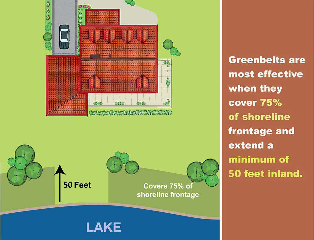
3 | 25-75% | >40 |
4 | >75% | N/A |
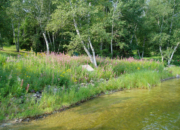
Greenbelt ratings for the length and depth of the vegetation were summed to produce an overall score describing the status, or health, of the greenbelt. Scores of 0 were considered very poor, 1-2: poor, 3-4: moderate, 5-6: good, and 7: excellent.
Erosion Severity
L = Exposed soils, gullies up to 1″ deep. |
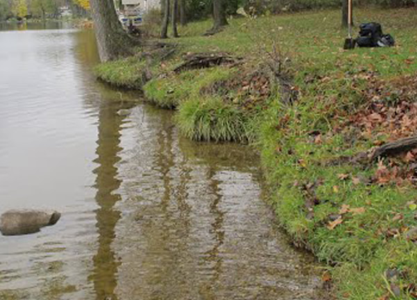
M = Exposed soils, gullies greater than 1″ but less than 6″ deep, and/or banks undercut by 6″ (minor slumping) |
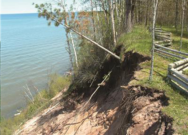
H = Exposed soils, gullies greater than 6″ deep, and/or banks undercut by more than 6″ (severe slumping) |
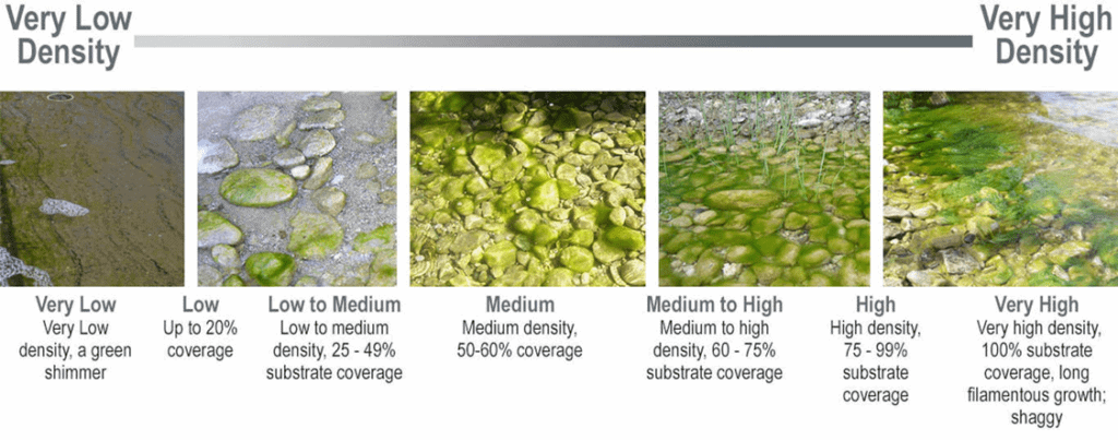
Cladophora Density
To improve your stewardship, visit the Michigan Shoreland Stewards (MiSS) website. The MiSS program provides recognition for lakefront property owners who are protecting inland lakes through best management practices on their property and provides recommendations for improving your shoreline

