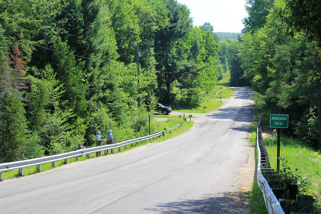
Minnehaha Creek - Road Stream Crossing Project
This project is part of the Tip of the Mitt Watershed Council’s ongoing efforts to improve road/stream crossings within Northern Michigan for the benefit of water quality, stream habitat, and public safety. The Maxwell Road crossing is one of two that will be addressed in 2017 and 2018 thanks to a partnership with the Emmet County Road Commission and grant funding provided by the National Fish and Wildlife Foundation’s Sustain Our Great Lakes program, the US Fish and Wildlife Service Fish Passage program, the Baiardi Foundation, and Patagonia.
The Minnehaha Creek lies within the 375,000 acre-Burt Lake Watershed. The Creek is a designated trout stream. According to the Michigan Department of Natural Resources (MDNR), brook trout are the most abundant game fish found within the Creek. Improving road/stream crossings is just one of several management priorities that will help protect this high-quality coldwater stream.
During 2014, a Road Stream Crossing (RSX) inventory was conducted as part of the Burt Lake Watershed Management Plan. Over 180 RSXs were inventoried using the Great Lakes Road Stream Crossing Inventory methodology. This widely-used methodology evaluates each crossing with regard to erosion, hydrology and fish passage, and determines a degree of severity (minor, moderate, and severe). Of those inventoried, 52 crossings are considered to be complete fish passage barriers and 63 are rated as severe.
Additionally, based on erosion models, 1.06 tons of sediment enters the stream annually. By properly designing the road approach to the crossing, sediment inputs can be eliminated, which will result in increased gravel substrate for spawning purposes, as well as improved habitat for macroinvertebrates.
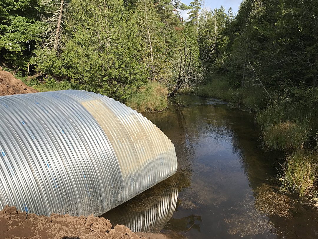
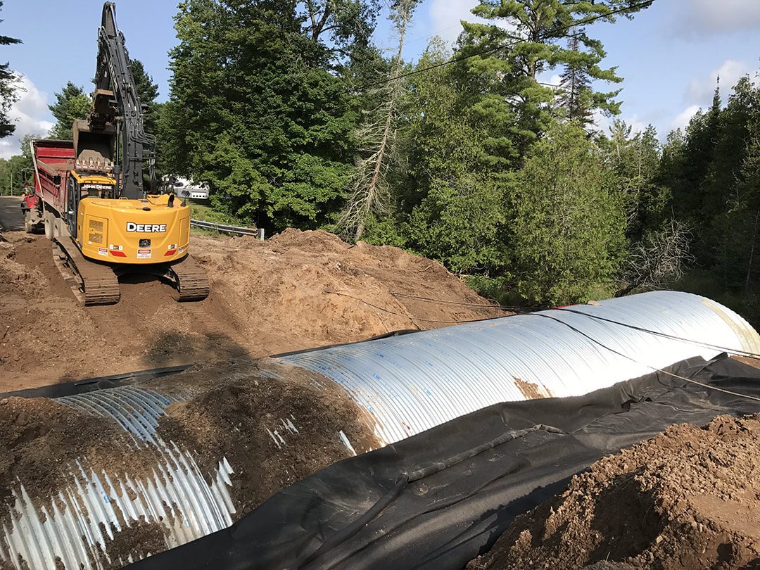
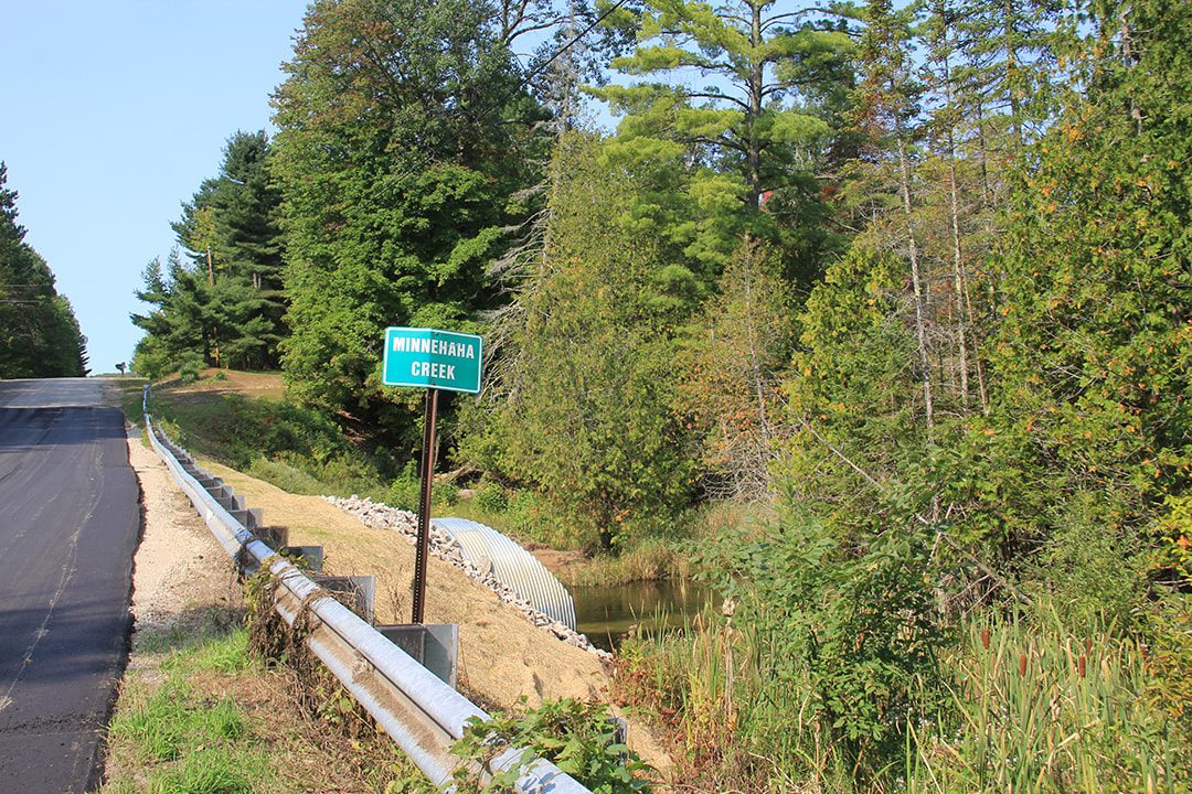
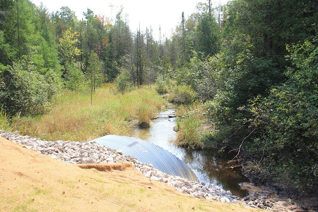
Maxwell Road Stream Crossing (2017)
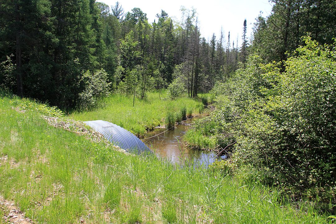
The Minnehaha Creek crossing at Maxwell Road was prioritized over other severe sites. It is near the stream’s headwaters and is perched (the bottom elevation of the culvert is not flush with the streambed), which poses as a passage barrier to nearly all aquatic organisms. The installation of a larger culvert now allows for fish passage and reduces sediment loading at this location.
Project Images
Funding for this crossing is provided by the National Fish and Wildlife Foundation’s Sustain Our Great Lakes program, the US Fish and Wildlife Service Fish Passage program, the Baiardi Foundation, and Patagonia. Emmet County Road Commission will be performing the work with assistance from several subcontractors.